
MyTopo
Kelly Wisconsin US Topo Map
Couldn't load pickup availability
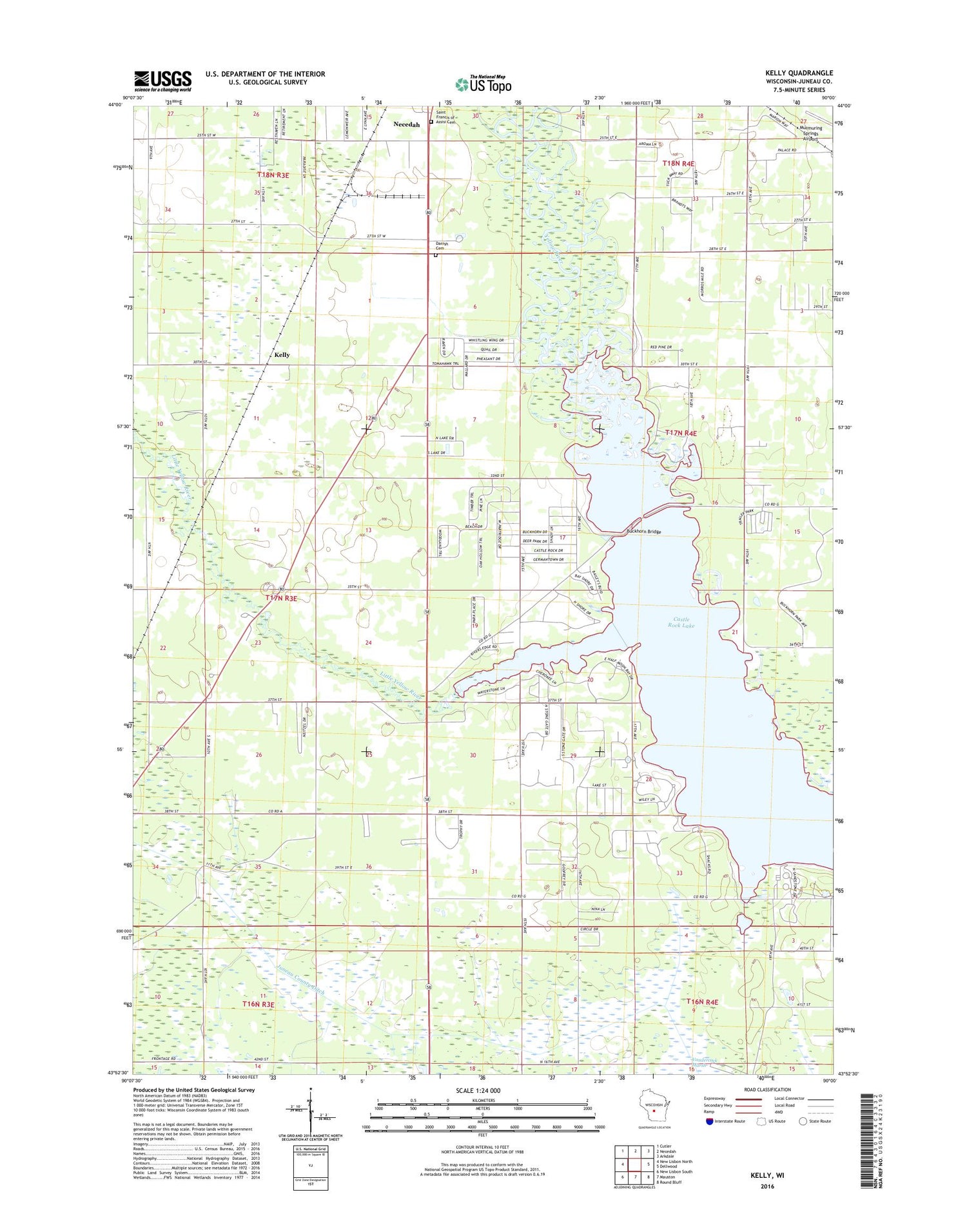
2018 topographic map quadrangle Kelly in the state of Wisconsin. Scale: 1:24000. Based on the newly updated USGS 7.5' US Topo map series, this map is in the following counties: Juneau. The map contains contour data, water features, and other items you are used to seeing on USGS maps, but also has updated roads and other features. This is the next generation of topographic maps. Printed on high-quality waterproof paper with UV fade-resistant inks.
Quads adjacent to this one:
West: New Lisbon North
Northwest: Cutler
North: Necedah
Northeast: Arkdale
East: Dellwood
Southeast: Round Bluff
South: Mauston
Southwest: New Lisbon South
Contains the following named places: Buckhorn Bridge, Danish Cemetery, Juneau County, Juneau County Ditch, Kelly, Little Yellow River, Saint Francis of Assisi Cemetery, South Branch Yellow River, Town of Germantown, Vandercock Marsh, Yellow River Oxbows State Natural Area


