MyTopo
Mauston Wisconsin US Topo Map
Couldn't load pickup availability
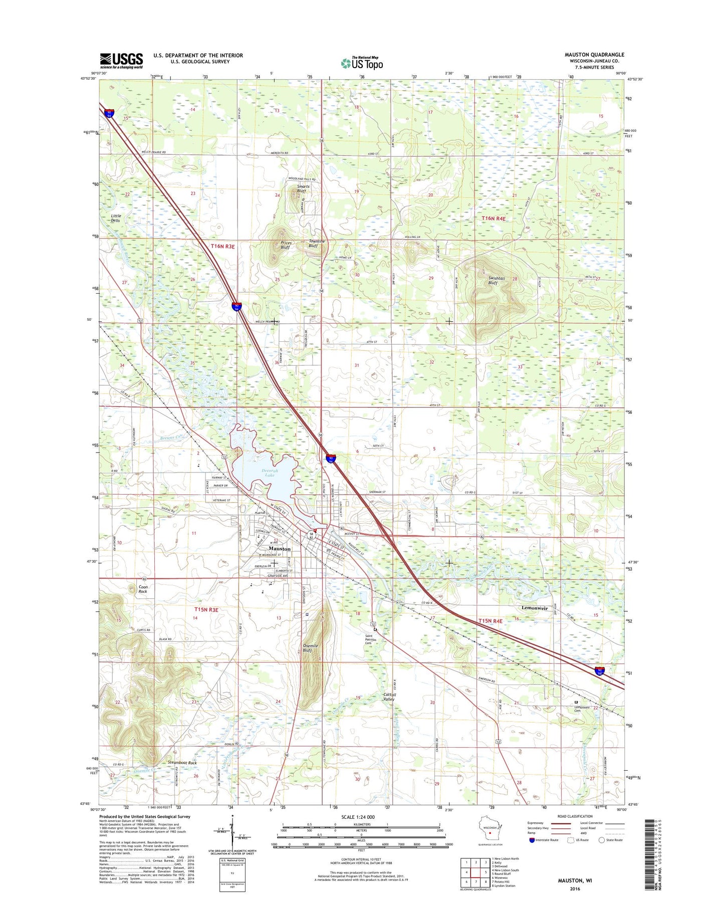
2022 topographic map quadrangle Mauston in the state of Wisconsin. Scale: 1:24000. Based on the newly updated USGS 7.5' US Topo map series, this map is in the following counties: Juneau. The map contains contour data, water features, and other items you are used to seeing on USGS maps, but also has updated roads and other features. This is the next generation of topographic maps. Printed on high-quality waterproof paper with UV fade-resistant inks.
Quads adjacent to this one:
West: New Lisbon South
Northwest: New Lisbon North
North: Kelly
Northeast: Dellwood
East: Round Bluff
Southeast: Lyndon Station
South: Potato Hill
Southwest: Wonewoc
This map covers the same area as the classic USGS quad with code o43090g1.
Contains the following named places: Bethany Lutheran Church, Bible Baptist Church, Brewer Creek, Cattail Valley, Cattail Valley Creek, Church of the Nazarene, City of Mauston, Coon Rock, Decorah Lake, Decorah Lake 550, First Baptist Church, First Methodist Episcopal Church, First Presbyterian Church, Grayside Elementary School, Hoile School, Jones Park, Juneau County Courthouse, Juneau County Fairgrounds, Juneau County Jail, Juneau County Sheriff's Office, Kingdom Hall, Kiwanis Park, Lemonweir, Lemonweir Millpond 594, Lemonweir WP284 Dam, Lions Park, Little Dells, Little Onemile Creek, Marchowski Park, Mauston, Mauston 1856C176 Dam, Mauston Airport, Mauston Alternative Resource School, Mauston Area Ambulance, Mauston City Hall, Mauston High School, Mauston Police Department, Mauston Post Office, Mauston Public Hospital, Mauston Public Library, Mauston Volunteer Fire Department, Mile Bluff Medical Center, Mile Bluff Medical Center Heliport, Olson Middle School, Onemile Bluff, Onemile Creek, Prices Bluff, Riverside Park, Rose Cemetery, Saint Johns Episcopal Church, Saint Patrick Catholic Church, Saint Patrick Elementary School, Saint Patricks Cemetery, Saint Pauls Evangelical Lutheran Church, Sand Ridge Secure Treatment Center, Smarts Bluff, Steamboat Rock, Swishtall Bluff, Town of Lemonweir, Townline Bluff, West Side Elementary School, WRJC-AM (Mauston), ZIP Code: 53948


