
MyTopo
Lake of the Falls Wisconsin US Topo Map
Couldn't load pickup availability
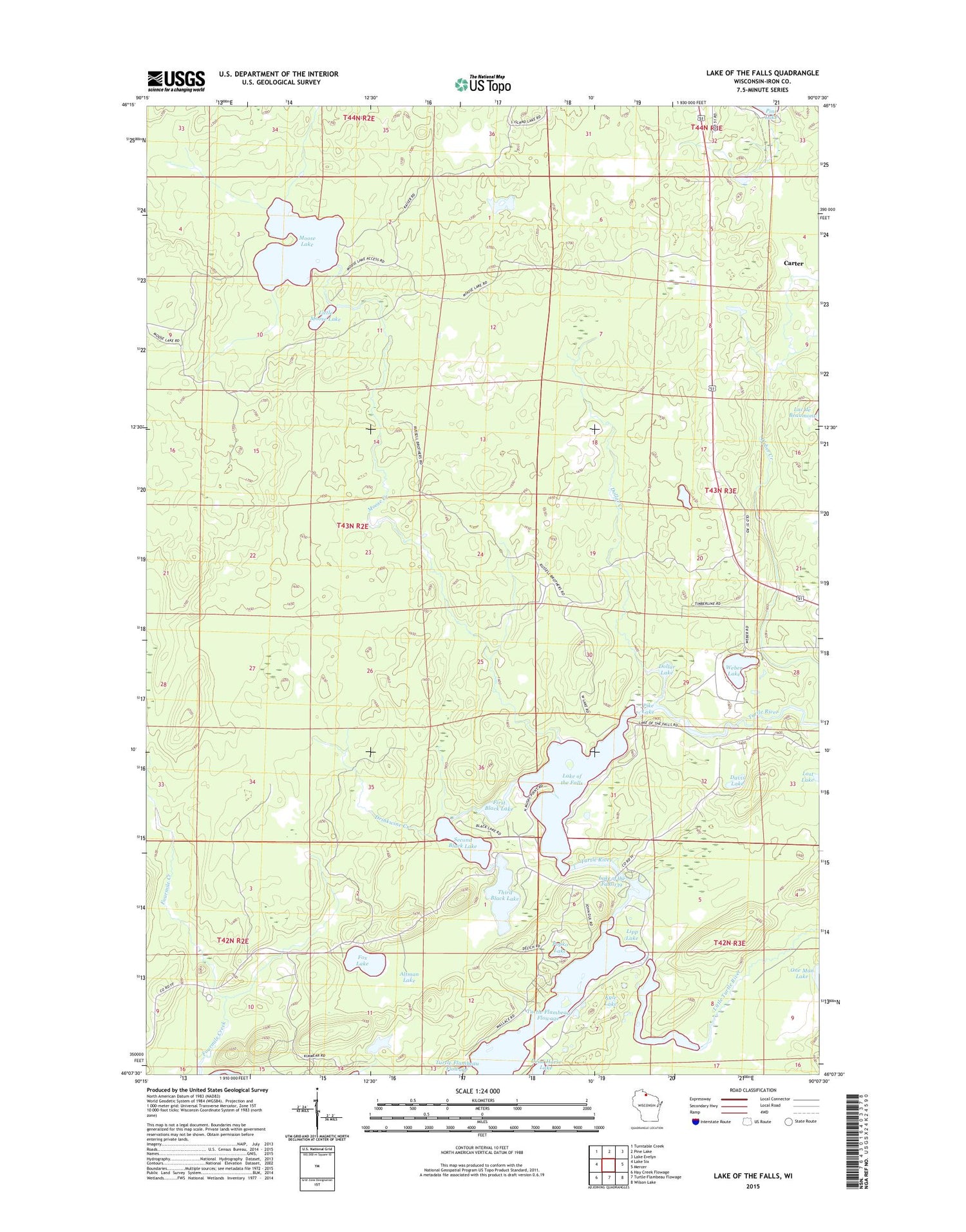
2018 topographic map quadrangle Lake of the Falls in the state of Wisconsin. Scale: 1:24000. Based on the newly updated USGS 7.5' US Topo map series, this map is in the following counties: Iron. The map contains contour data, water features, and other items you are used to seeing on USGS maps, but also has updated roads and other features. This is the next generation of topographic maps. Printed on high-quality waterproof paper with UV fade-resistant inks.
Quads adjacent to this one:
West: Lake Six
Northwest: Turntable Creek
North: Pine Lake
Northeast: Lake Evelyn
East: Mercer
Southeast: Wilson Lake
South: Turtle-Flambeau Flowage
Southwest: Hay Creek Flowage
Contains the following named places: Altman Lake, Carter, Davis Lake, Dead Horse Lake, Dollar Creek, Dollar Lake, Drinkwine Creek, First Black Lake, Fox Lake, Kyle Lake, Lake of the Falls, Lake of the Falls 139, Lake of the Falls County Park, Lake of the Falls Dam, Lipp Lake, Little Moose Lake, Little Turtle River, Lost Lake, Moose Creek, Moose Lake, Moose Lake State Natural Area, Popko Lake, Second Black Lake, Third Black Lake, Town of Mercer, Weber Creek, Weber Lake


