MyTopo
Lake Evelyn Wisconsin US Topo Map
Couldn't load pickup availability
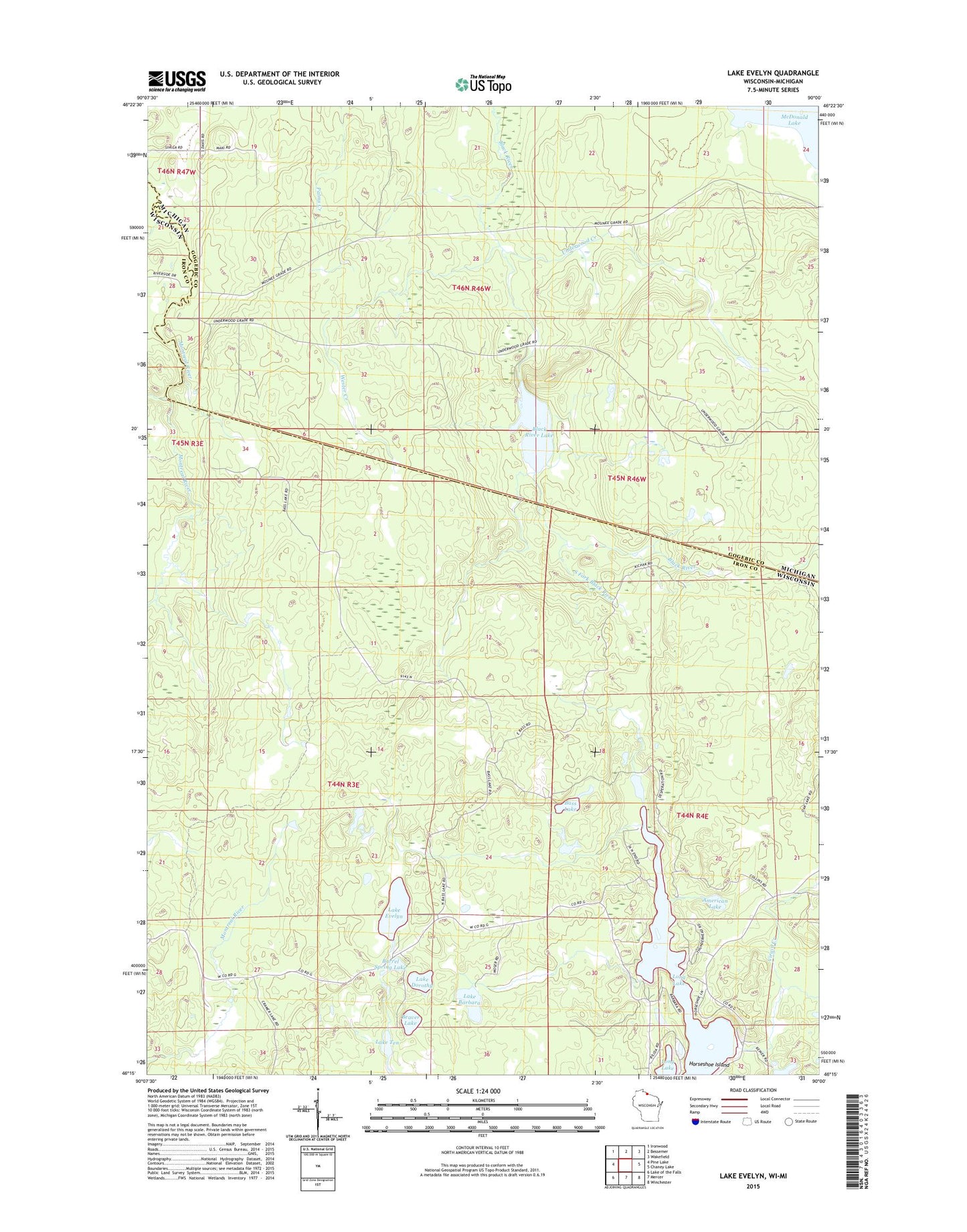
2022 topographic map quadrangle Lake Evelyn in the states of Wisconsin, Michigan. Scale: 1:24000. Based on the newly updated USGS 7.5' US Topo map series, this map is in the following counties: Iron, Gogebic. The map contains contour data, water features, and other items you are used to seeing on USGS maps, but also has updated roads and other features. This is the next generation of topographic maps. Printed on high-quality waterproof paper with UV fade-resistant inks.
Quads adjacent to this one:
West: Pine Lake
Northwest: Ironwood
North: Bessemer
Northeast: Wakefield
East: Chaney Lake
Southeast: Winchester
South: Mercer
Southwest: Lake of the Falls
This map covers the same area as the classic USGS quad with code o46090c1.
Contains the following named places: American Lake, Barrel Spring Lake, Bass Lake, Beaver Lake, Black River Lake, Horseshoe Island, Lake Barbara, Lake Dorothy, Lake Evelyn, Lake Evelyn State Natural Area, Lake Ten, Laymans Creek, Long Lake, Mosinee Lumber Camp, Pine Lake Lookout Tower, Pork And Beans Lake, South Fork Black River, Town of Oma, Underwood Creek, Underwood State Wildlife Area, Virgin Creek, Wester Creek