
MyTopo
Lake Winter Wisconsin US Topo Map
Couldn't load pickup availability
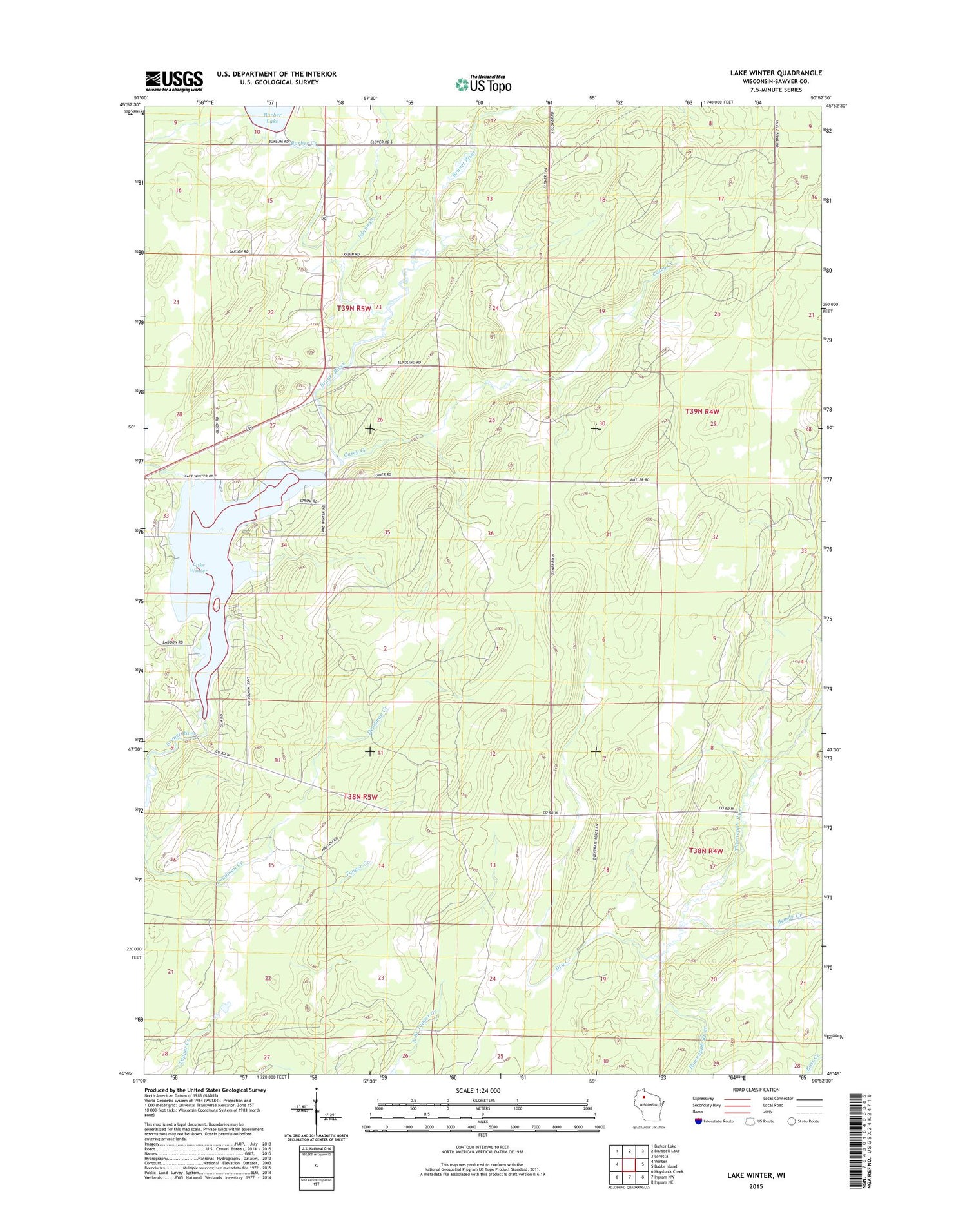
2018 topographic map quadrangle Lake Winter in the state of Wisconsin. Scale: 1:24000. Based on the newly updated USGS 7.5' US Topo map series, this map is in the following counties: Sawyer. The map contains contour data, water features, and other items you are used to seeing on USGS maps, but also has updated roads and other features. This is the next generation of topographic maps. Printed on high-quality waterproof paper with UV fade-resistant inks.
Quads adjacent to this one:
West: Winter
Northwest: Barker Lake
North: Blaisdell Lake
Northeast: Loretta
East: Babbs Island
Southeast: Ingram NE
South: Ingram NW
Southwest: Hogsback Creek
Contains the following named places: Barber Creek, Beaver Creek, Casey Creek, Dry Creek, Island Creek, Lake Winter, Lake Winter 72, Old Christman Camp, Old Larsen Camp, Old Savord Camp, Price 2WP 1664 Dam, South Barber Lake, Town of Winter, Winter Lookout Tower, ZIP Code: 54896


