MyTopo
Peeksville Wisconsin US Topo Map
Couldn't load pickup availability
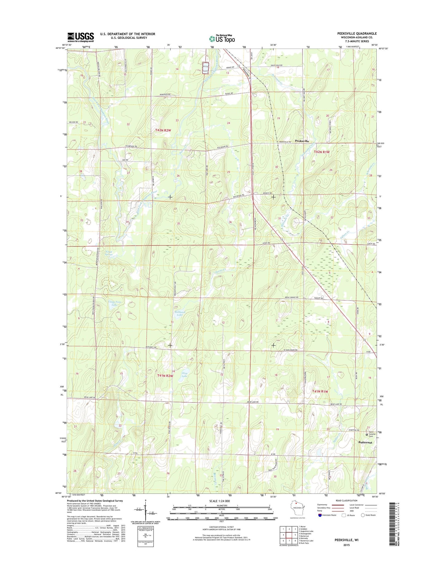
2022 topographic map quadrangle Peeksville in the state of Wisconsin. Scale: 1:24000. Based on the newly updated USGS 7.5' US Topo map series, this map is in the following counties: Ashland. The map contains contour data, water features, and other items you are used to seeing on USGS maps, but also has updated roads and other features. This is the next generation of topographic maps. Printed on high-quality waterproof paper with UV fade-resistant inks.
Quads adjacent to this one:
West: Shanagolden
Northwest: Morse
North: Glidden
Northeast: Augustine Lake
East: Butternut
Southeast: Park Falls
South: Butternut Lake
Southwest: Kennedy
This map covers the same area as the classic USGS quad with code o46090a5.
Contains the following named places: Bullhead Lake, Camp Four Lake, Chippewa Townhall, Dorns Creek, Glidden Municipal Airport, Kempf Springs, Nelson Creek, Peeksville, Saint Cecelia Cemetery, Schraum Creek, Slim Lake