MyTopo
Prescott Wisconsin US Topo Map
Couldn't load pickup availability
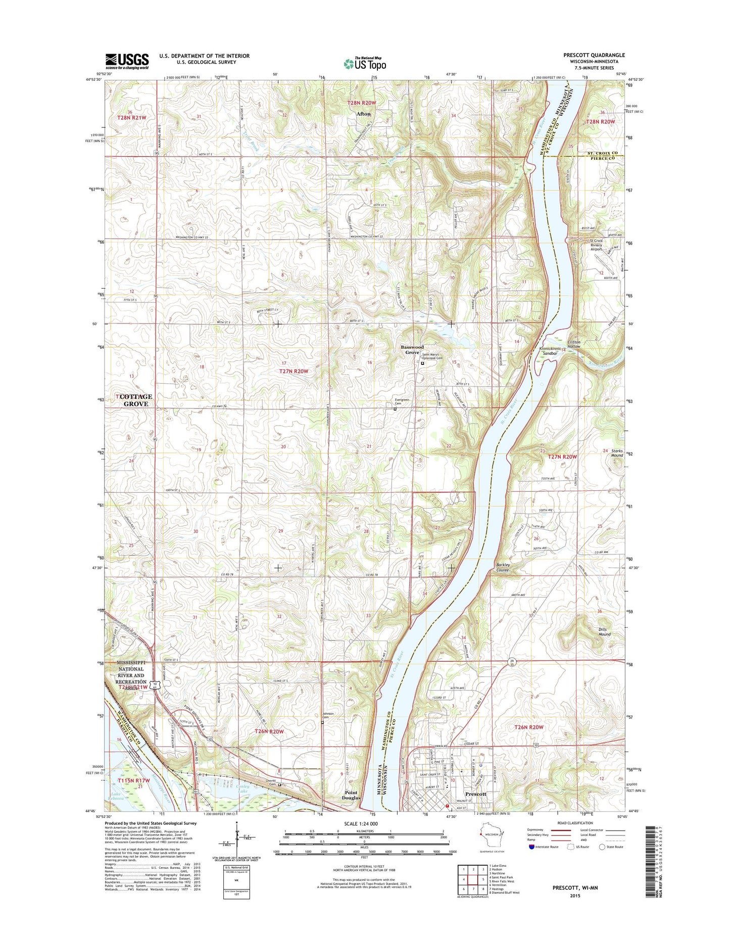
2022 topographic map quadrangle Prescott in the states of Minnesota, Wisconsin. Scale: 1:24000. Based on the newly updated USGS 7.5' US Topo map series, this map is in the following counties: Pierce, Washington, St. Croix, Dakota. The map contains contour data, water features, and other items you are used to seeing on USGS maps, but also has updated roads and other features. This is the next generation of topographic maps. Printed on high-quality waterproof paper with UV fade-resistant inks.
Quads adjacent to this one:
West: Saint Paul Park
Northwest: Lake Elmo
North: Hudson
Northeast: Northline
East: River Falls West
Southeast: Diamond Bluff West
South: Hastings
Southwest: Vermillion
This map covers the same area as the classic USGS quad with code o44092g7.
Contains the following named places: Afton Alps Golf Course, Afton Alps Ski Area, Afton Apple Orchards, Afton State Park, Andrea Park, Barkley Coulee, Basswood Grove, City of Prescott, Clifton Hollow, Conley Lake, Couwette Group Pond Dam, Dills Mound, Elevator Bay, Evergreen Cemetery, Fischer's Croix Farm Orchard, Highlands Golf Club, Johnson Cemetery, Joy Lutheran Church, Kinnickinnic River, Kinnickinnic River Gorge and Delta State Natural Area, Kinnickinnic Sandbar, Lake Rebecca, Lake Rebecca Park, Leavitt Cemetery, Lock and Dam 2, Locks and Dam Number 2, Malone Elementary School, Point Douglas, Point Douglas Post Office, Prescott Area Fire and Rescue Department, Prescott High School, Prescott Police Department, Prescott Post Office, Riverhills Hospital, Saint Mary's Episcopal Cemetery, Saint Pauls Lutheran Church, Schuester Pond Dam, St Croix Riviera Airport, Starks Mound, Township of Denmark, Trout Brook, Whistling Well Farm