MyTopo
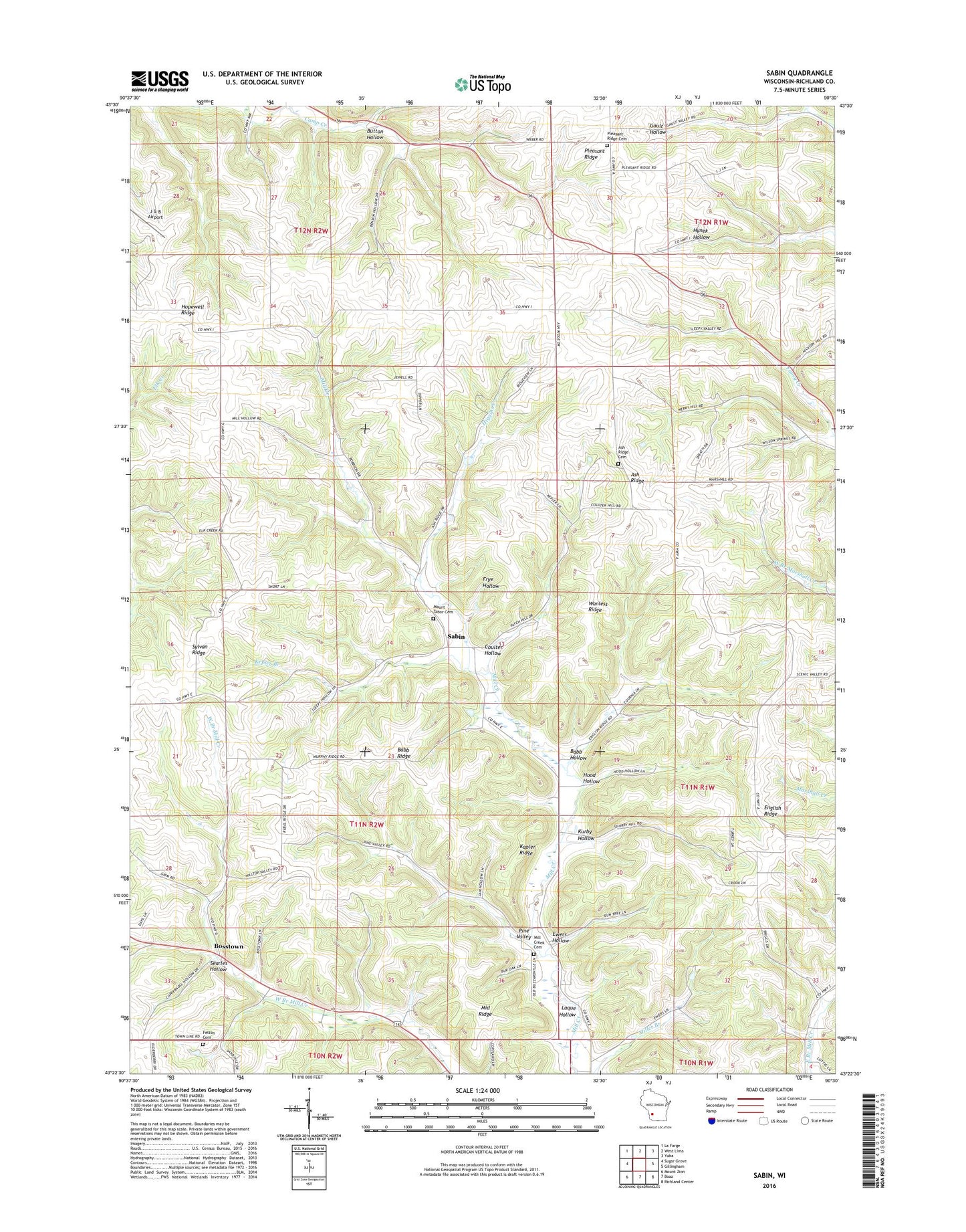
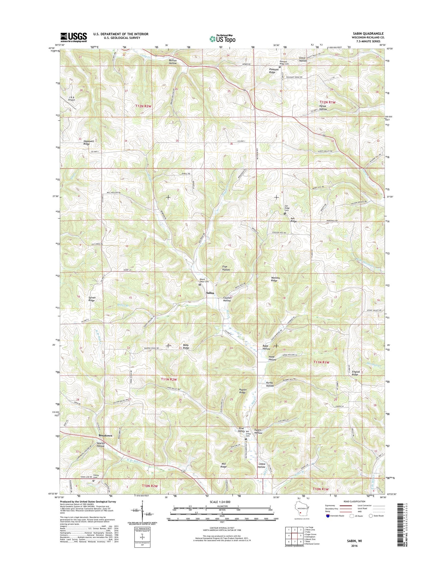
Sabin Wisconsin US Topo Map
Couldn't load pickup availability
2018 topographic map quadrangle Sabin in the state of Wisconsin. Scale: 1:24000. Based on the newly updated USGS 7.5' US Topo map series, this map is in the following counties: Richland. The map contains contour data, water features, and other items you are used to seeing on USGS maps, but also has updated roads and other features. This is the next generation of topographic maps. Printed on high-quality waterproof paper with UV fade-resistant inks.
Quads adjacent to this one:
West: Sugar Grove
Northwest: La Farge
North: West Lima
Northeast: Yuba
East: Gillingham
Southeast: Richland Center
South: Boaz
Southwest: Mount Zion
Contains the following named places: .38 Reservoir, 1 Reservoir, 2 Reservoir, 4 Reservoir, Apple Grove Farm, Arbor Vitae Cottage Farm, Ash Ridge, Ash Ridge Cemetery, Ash Ridge Church, Babb Hollow, Babb Ridge, Barrett G-6253 Dam, Bethel Church, Bosstown, Brookside Sheep Farm, Butternut Grove Farm, Button Hollow, Clear View Farm, Cold Spring Stock Farm, Coulter Hollow, Eckleberry School, Edgewood Fruit Farm, El Pac Ranch Landing Strip, Elm Grove Farm, Elm Tree Farm, English Ridge, Evergreen Cottage Farm, Evergreen Farm, Evergreen Lawn Farm, Ewers Hollow, Felton Cemetery, Forest Hill Stock Farm, Forest Valley Stock Farm, Friendly Hollow Stock Farm, Galloway Stock and Grain Farm, Good View Farm, Great Rock Stock Farm, Green Park Farm, Greenwood Farm, Grove Hill Farm, Hazeldeen Farm, Hickory Grove Farm, Hickory Grove School, Higgins Creek, Higgins School, Highland Stock Farm, Hillside Stock Farm, Honey Suckle Apiary, Hood Hollow, Householders Homestead, J & B Airport, John Cook Church, Kapler Ridge, Kepler Branch, Knapp Chapel, Kurby Hollow, Laque Hollow, Lowery School, Maple Grove Stock Farm, Maple Hill Stock Farm, Maple Valley Farm, Mapledale Stock Farm, Middle Ridge, Mill Creek, Mill Creek 10 D-31.11 Dam, Mill Creek 13a D-31.11 Dam, Mill Creek 22 D 31.11 Dam, Mill Creek 9a D-31.11 Dam, Mill Creek Cemetery, Mill Creek Farm, Mill Creek Valley Farm, Mill Valley Sheep and Stock Farm, Mount Tabor Cemetery, Mountain Meadow Stock Farm, Oakland Farm, Old Homestead Farm, Orchard Lawn Stock Farm, Pine Park Stock and Grain Farm, Pine Valley, Pine Valley Farm, Pine Valley School, Pioneer Creamery Farm, Pleasant Hollow Farm, Pleasant Ridge Cemetery, Pleasant Ridge Church, Pleasant Valley School, Pleasant Valley Stock Farm, Pleasant View Farm, Putnam School, Sabin, Sabin Pond, School Number 2, School Number 4, School Number 5, School Number 6, School Number 8, Searles Hollow, Spring Bank Farm, Spring Brook Farm, Spring Dale Stock Farm, Springdale Farm, Sugar Tree Farm, Sugarwood Farm, Sunny Side Farm, Sweet Earth Egg Farms, Sylvan Ridge, Town of Sylvan, Valley View Farm, Wanless Ridge, Washington Elementary School