MyTopo
Waumandee Wisconsin US Topo Map
Couldn't load pickup availability
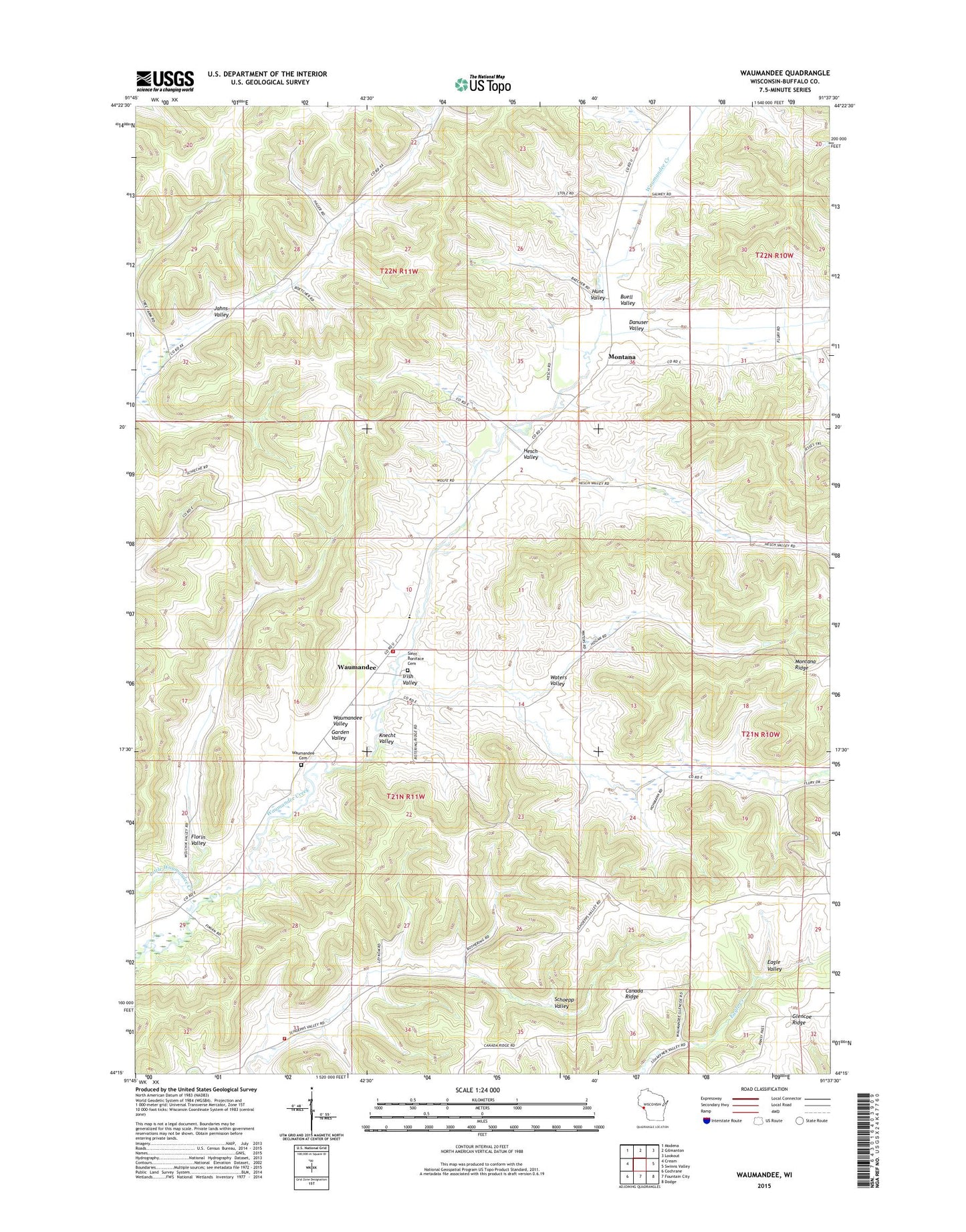
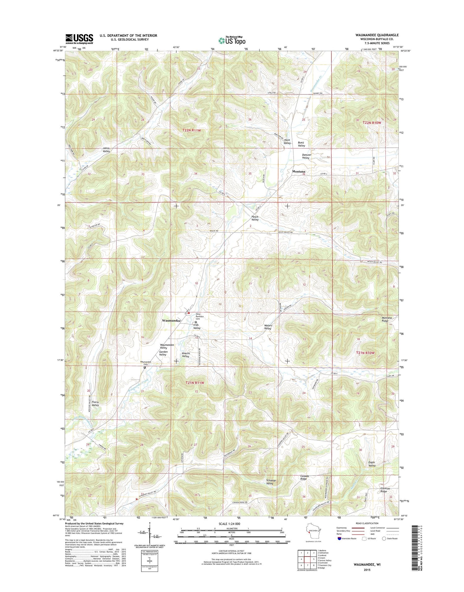
2018 topographic map quadrangle Waumandee in the state of Wisconsin. Scale: 1:24000. Based on the newly updated USGS 7.5' US Topo map series, this map is in the following counties: Buffalo. The map contains contour data, water features, and other items you are used to seeing on USGS maps, but also has updated roads and other features. This is the next generation of topographic maps. Printed on high-quality waterproof paper with UV fade-resistant inks.
Quads adjacent to this one:
West: Cream
Northwest: Modena
North: Gilmanton
Northeast: Lookout
East: Swinns Valley
Southeast: Dodge
South: Fountain City
Southwest: Cochrane
Contains the following named places: Buell Valley, Dannuser Creek, Danuser Valley, Florin Valley, Garden Valley, Garden Valley School, Hanson School, Harmonia Park, Hesch Valley, Hunt Valley, Irish Valley, Irish Valley Creek, Irish Valley School, Jahns Valley School, Knecht Valley, Lincoln School, Little Waumandee Creek, Montana, Montana United Methodist Church, Saint Boniface Catholic School, Saint Boniface Cemetery, Schoepp Valley School, Town of Lincoln, Town of Waumandee, Upper Eagle Creek School, Waters Valley, Waumandee, Waumandee - Montana Volunteer Fire Department, Waumandee Cemetery, Waumandee Census Designated Place, Waumandee Fire Department, Waumandee School