MyTopo
Gilmanton Wisconsin US Topo Map
Couldn't load pickup availability
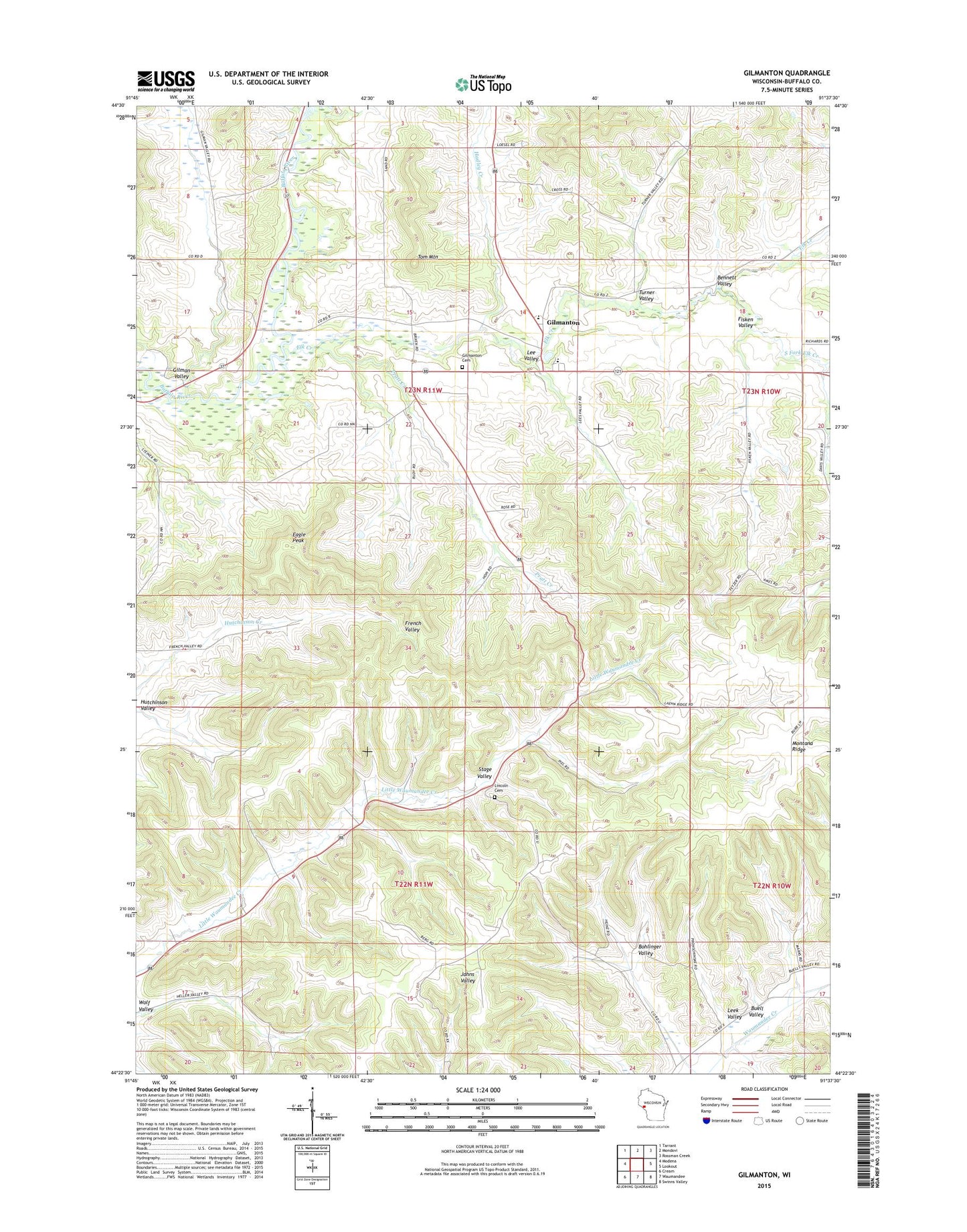
2022 topographic map quadrangle Gilmanton in the state of Wisconsin. Scale: 1:24000. Based on the newly updated USGS 7.5' US Topo map series, this map is in the following counties: Buffalo. The map contains contour data, water features, and other items you are used to seeing on USGS maps, but also has updated roads and other features. This is the next generation of topographic maps. Printed on high-quality waterproof paper with UV fade-resistant inks.
Quads adjacent to this one:
West: Modena
Northwest: Tarrant
North: Mondovi
Northeast: Rossman Creek
East: Lookout
Southeast: Swinns Valley
South: Waumandee
Southwest: Cream
This map covers the same area as the classic USGS quad with code o44091d6.
Contains the following named places: 02 Reservoir, Bennett Valley, Bohlinger Valley, Churches Creek, Eagle Peak, Elk Creek, Fisken Valley, Four Corners School, Gilman Creek, Gilman Valley, Gilman Valley School, Gilmanton, Gilmanton Cemetery, Gilmanton Census Designated Place, Gilmanton Elementary School, Gilmanton High School, Gilmanton Post Office, Griffin School, Hadley Creek, Helwig H1605 Dam, Hutchinson Valley, Lee Valley, Leek Valley, Lincoln Church, Oak Grove School, Pratt Creek, Rutchow Cemetery, Sharp Corner School, South Fork Elk Creek, Stage Valley, Three Mile Creek, Threemile Creek, Threemile Creek School, Tom Mountain, Town of Gilmanton, Turner Valley, Whelan School, Wolf Valley


