MyTopo
Baldy Mountain Wyoming US Topo Map
Couldn't load pickup availability
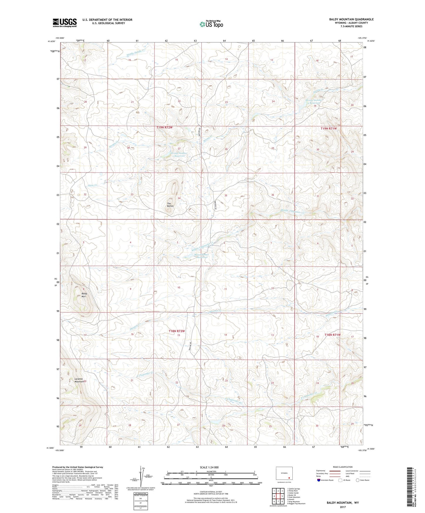
2021 topographic map quadrangle Baldy Mountain in the state of Wyoming. Scale: 1:24000. Based on the newly updated USGS 7.5' US Topo map series, this map is in the following counties: Albany. The map contains contour data, water features, and other items you are used to seeing on USGS maps, but also has updated roads and other features. This is the next generation of topographic maps. Printed on high-quality waterproof paper with UV fade-resistant inks.
Quads adjacent to this one:
West: Bosler SE
Northwest: Sybille Springs
North: Sheep Rock
Northeast: Indian Guide
East: Goat Mountain
Southeast: Ragged Top Mountain
South: King Mountain
Southwest: Howell
This map covers the same area as the classic USGS quad with code o41105e4.
Contains the following named places: Baldy Mountain, Bliss Number 1 Dam, Bliss Number 1 Reservoir, East Albany Division, Ella Reservoir, Ella Reservoir Dam, Greaser Ranch, Laramie Mountains, Shanton Mine, Snow Creek, Strong Number 1 Dam, Strong Number 1 Reservoir, Strong Number 4 Dam, Strong Number 4 Reservoir, The Buttes