MyTopo
Sheep Rock Wyoming US Topo Map
Couldn't load pickup availability
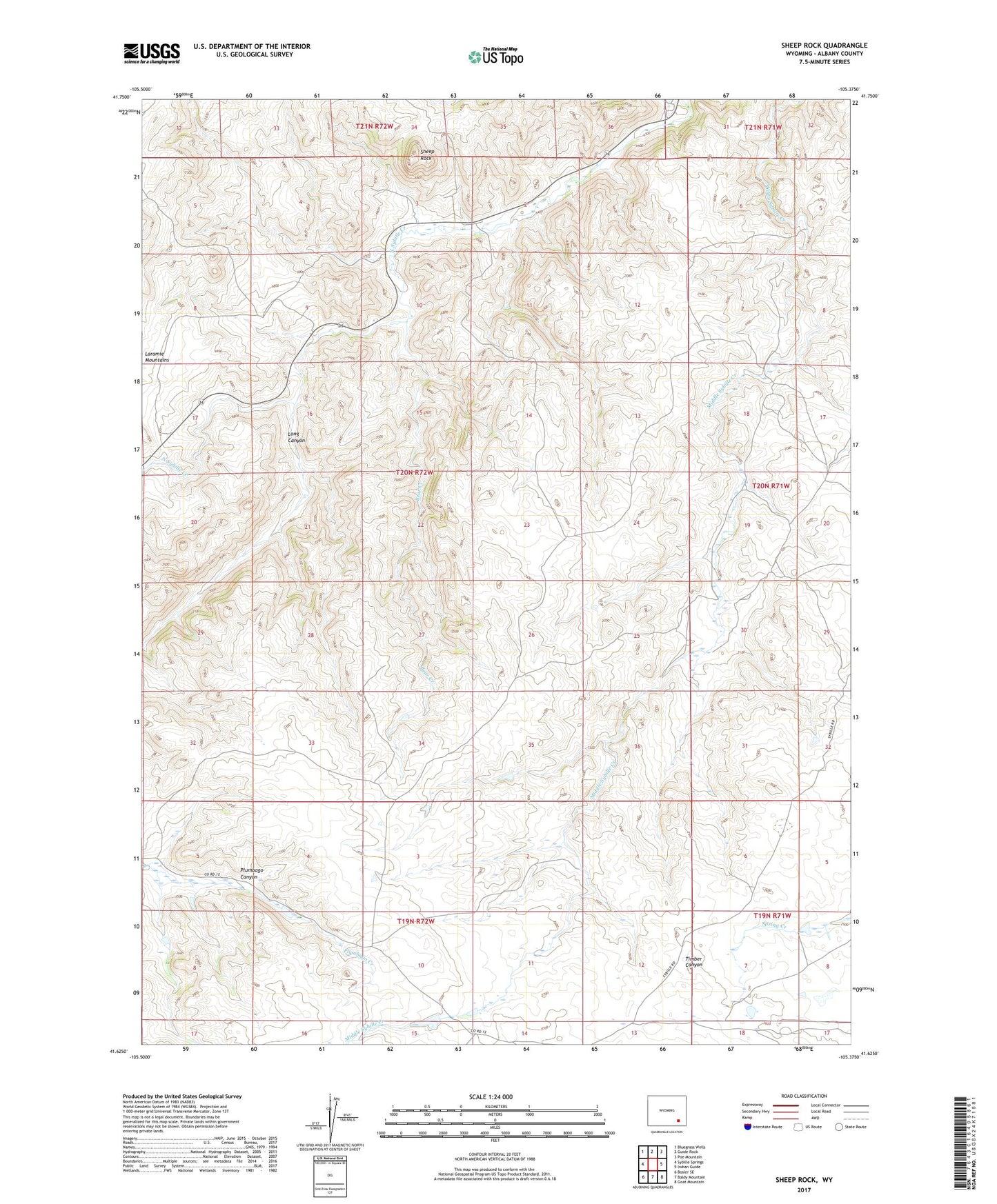
2021 topographic map quadrangle Sheep Rock in the state of Wyoming. Scale: 1:24000. Based on the newly updated USGS 7.5' US Topo map series, this map is in the following counties: Albany. The map contains contour data, water features, and other items you are used to seeing on USGS maps, but also has updated roads and other features. This is the next generation of topographic maps. Printed on high-quality waterproof paper with UV fade-resistant inks.
Quads adjacent to this one:
West: Sybille Springs
Northwest: Bluegrass Wells
North: Guide Rock
Northeast: Poe Mountain
East: Indian Guide
Southeast: Goat Mountain
South: Baldy Mountain
Southwest: Bosler SE
This map covers the same area as the classic USGS quad with code o41105f4.
Contains the following named places: Bear Creek, Bell Ranch, Berner Ranch, Canon Number 5 Dam, Canon Number 5 Reservoir, Laramie Range Mine, Long Canyon, Patrick Ryan Number 3 Dam, Rawhide Park, School Creek, Sheep Rock