MyTopo
Bengough Hill Wyoming US Topo Map
Couldn't load pickup availability
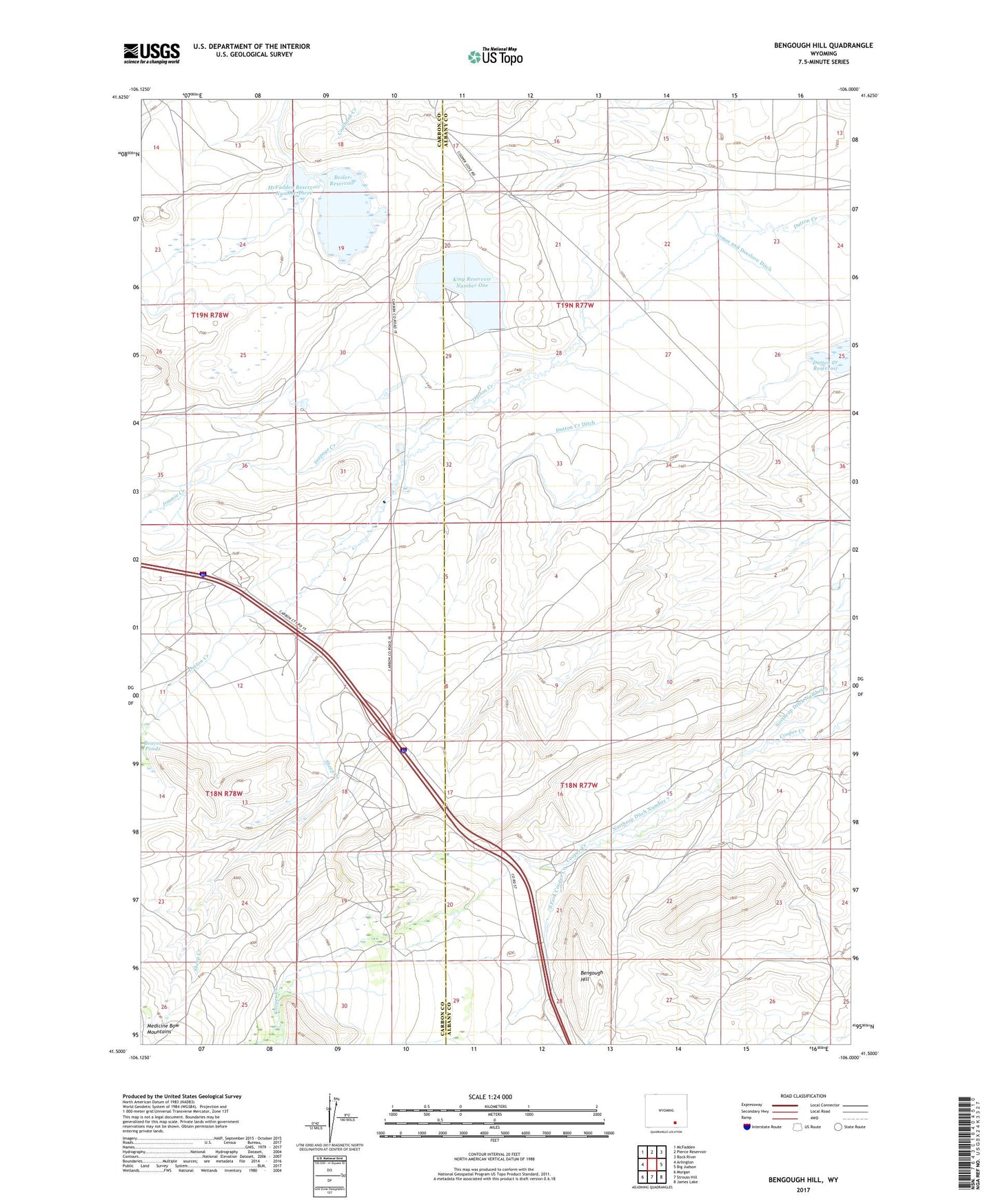
2021 topographic map quadrangle Bengough Hill in the state of Wyoming. Scale: 1:24000. Based on the newly updated USGS 7.5' US Topo map series, this map is in the following counties: Albany, Carbon. The map contains contour data, water features, and other items you are used to seeing on USGS maps, but also has updated roads and other features. This is the next generation of topographic maps. Printed on high-quality waterproof paper with UV fade-resistant inks.
Quads adjacent to this one:
West: Arlington
Northwest: McFadden
North: Pierce Reservoir
Northeast: Rock River
East: Big Judson
Southeast: James Lake
South: Strouss Hill
Southwest: Morgan
This map covers the same area as the classic USGS quad with code o41106e1.
Contains the following named places: Beaver Ponds, Bengough Hill, Bosler Dam, Bosler Reservoir, Cooper Cove Oil Field, Dunn Ranch, Dutton Creek Ditch, Dutton Creek Oil Field, Dutton Creek Reservoir Supply Ditch, East Fork Dutton Creek, Fry Mine, J F White Prospect, Jankovsky Ranch, Jimmie Creek, King Number 1 Dam, King Reservoir Number One, McFadden Number 3 Dam, McFadden Reservoir Number Three, North Fork Cooper Creek, Northrop Ditch Number 5, Northrop Ditch Number 7, Seepage Creek, Seepage Dam, Seepage Reservoir, Sheep Creek, South Fork Cooper Creek, Terry Mine