MyTopo
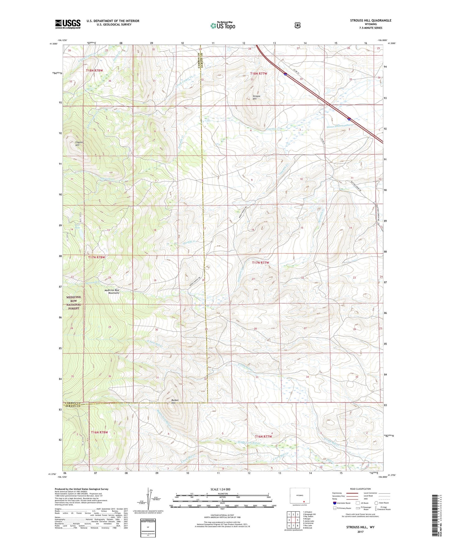
Strouss Hill Wyoming US Topo Map
Couldn't load pickup availability
Also explore the Strouss Hill Forest Service Topo of this same quad for updated USFS data
2021 topographic map quadrangle Strouss Hill in the state of Wyoming. Scale: 1:24000. Based on the newly updated USGS 7.5' US Topo map series, this map is in the following counties: Albany, Carbon. The map contains contour data, water features, and other items you are used to seeing on USGS maps, but also has updated roads and other features. This is the next generation of topographic maps. Printed on high-quality waterproof paper with UV fade-resistant inks.
Quads adjacent to this one:
West: Morgan
Northwest: Arlington
North: Bengough Hill
Northeast: Big Judson
East: James Lake
Southeast: Millbrook
South: Rex Lake
Southwest: Centennial
This map covers the same area as the classic USGS quad with code o41106d1.
Contains the following named places: Basin Ranch, Bunker Hill, Coyote Hill, Lost Lake, Manthos Ranch, Middle Fork Mill Creek, Monolith Portland Midwest Company Mine, Nellis Creek, North Fork Mill Creek, Onemile Creek, Overland Trail, South Fork Mill Creek, Straus Ditch Number 2, Strouss Hill