MyTopo
Blue Point Wyoming US Topo Map
Couldn't load pickup availability
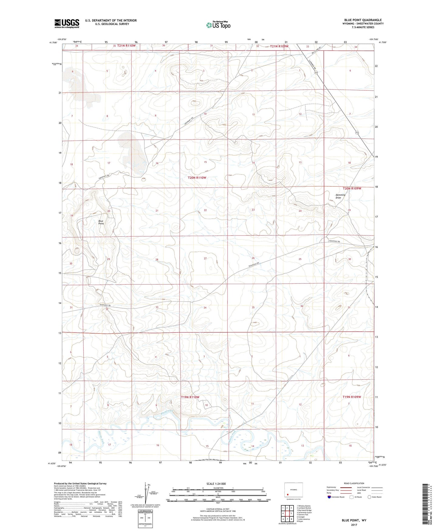
2021 topographic map quadrangle Blue Point in the state of Wyoming. Scale: 1:24000. Based on the newly updated USGS 7.5' US Topo map series, this map is in the following counties: Sweetwater. The map contains contour data, water features, and other items you are used to seeing on USGS maps, but also has updated roads and other features. This is the next generation of topographic maps. Printed on high-quality waterproof paper with UV fade-resistant inks.
Quads adjacent to this one:
West: Sevenmile Gulch
Northwest: Whiskey Buttes
North: Lombard Buttes
Northeast: Big Island Bridge
East: Stevens Flat
Southeast: Bryan
South: Little America
Southwest: Granger
Contains the following named places: Blue Point, Eckes Homestead, Intermountain Chemical Company Mine, Marston Shaft Number One Mine, Soda Ash Wells, Texasgulf Tailings Dam, Texasgulf Tailings Reservoir, Westvaco Number Eleven Mine, Westvaco Number Five Mine, Westvaco Number Six Mine, Westvaco Number Ten Mine, Westvaco Number Thirteen Mine, Westvaco Number Twelve Mine