MyTopo
Bob Lakes Wyoming US Topo Map
Couldn't load pickup availability
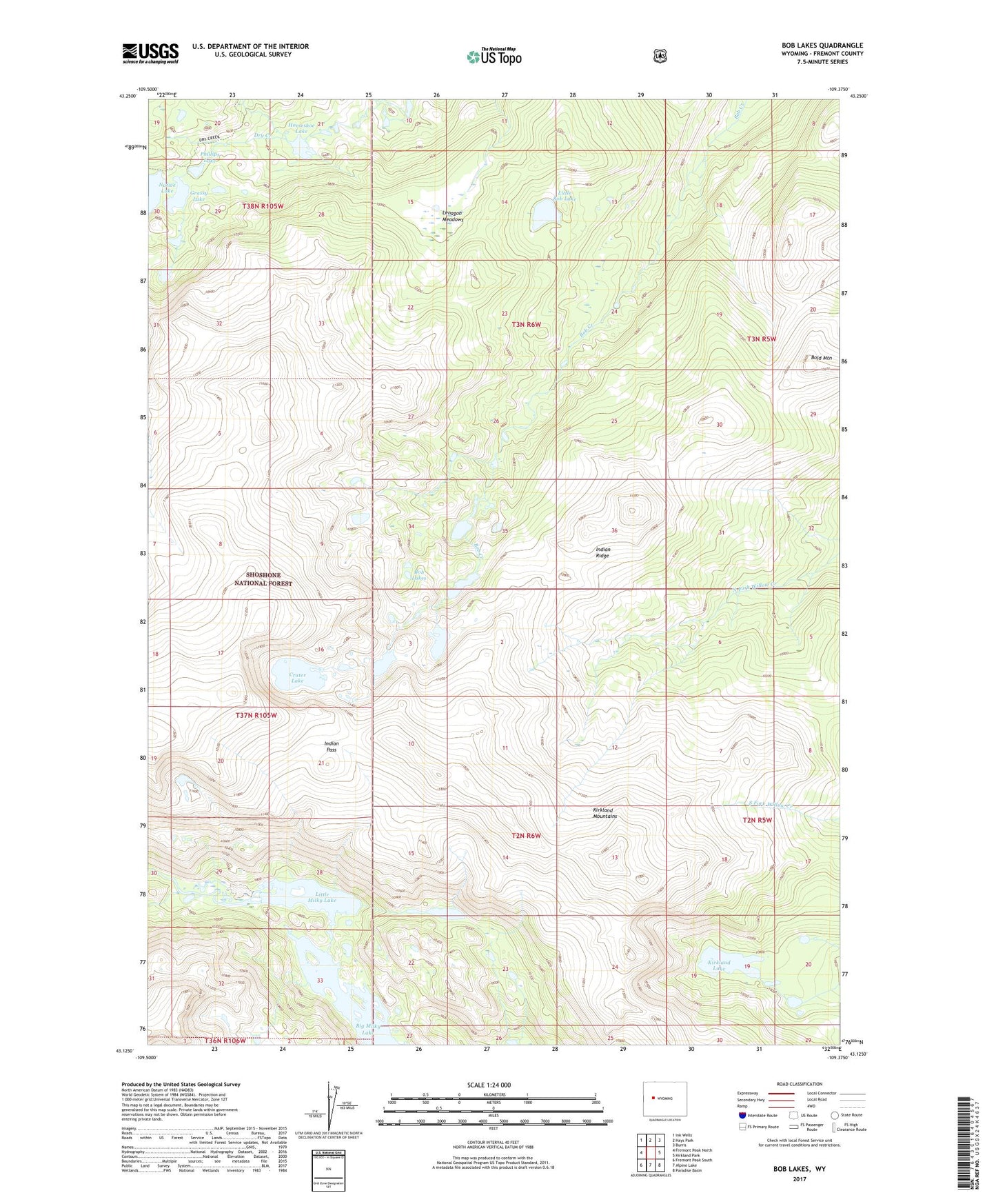
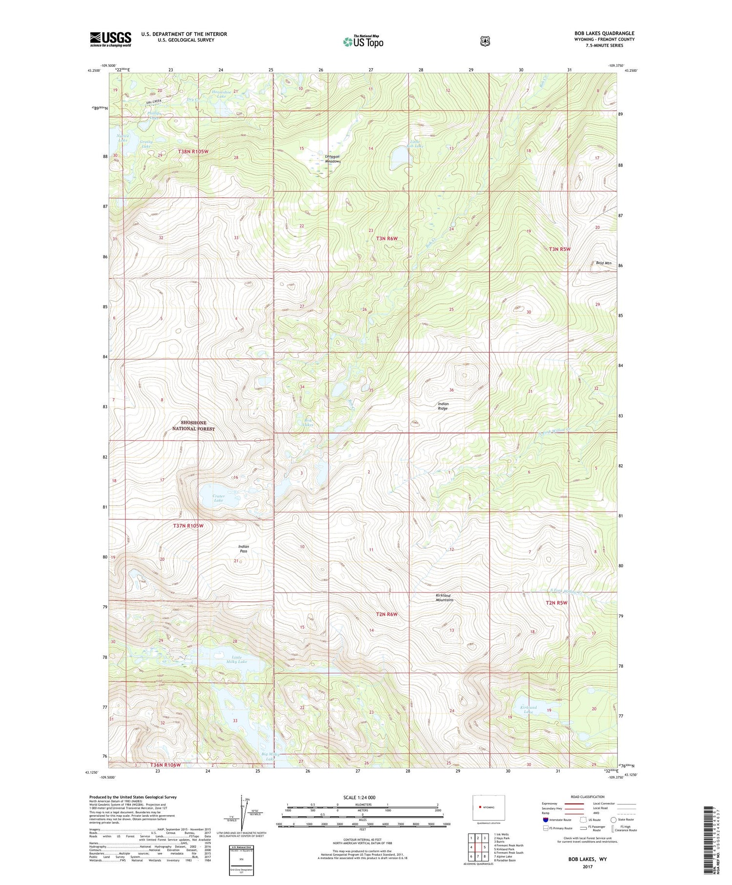
2021 topographic map quadrangle Bob Lakes in the state of Wyoming. Scale: 1:24000. Based on the newly updated USGS 7.5' US Topo map series, this map is in the following counties: Fremont. The map contains contour data, water features, and other items you are used to seeing on USGS maps, but also has updated roads and other features. This is the next generation of topographic maps. Printed on high-quality waterproof paper with UV fade-resistant inks.
Quads adjacent to this one:
West: Fremont Peak North
Northwest: Ink Wells
North: Hays Park
Northeast: Burris
East: Kirkland Park
Southeast: Paradise Basin
South: Alpine Lake
Southwest: Fremont Peak South
Contains the following named places: Big Milky Lake, Bob Lakes, Bold Mountain, Crater Lake, Grassy Lake, Horseshoe Lake, Indian Pass, Indian Ridge, Kirkland Lake, Kirkland Mountains, Lenagon Meadows, Little Bob Lake, Little Milky Lake, Meadow Creek Lookout Tower, Phillips Lake, South of Crater Lake Mine