MyTopo
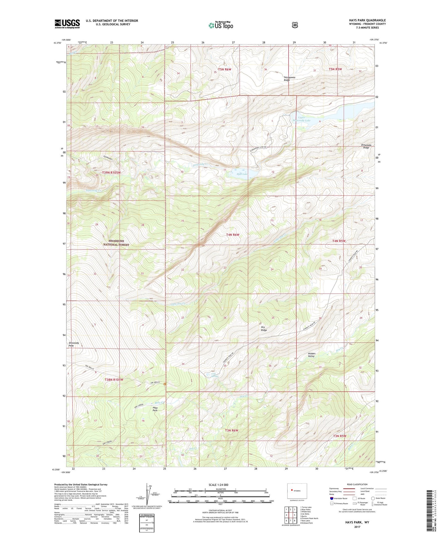
Hays Park Wyoming US Topo Map
Couldn't load pickup availability
Also explore the Hays Park Forest Service Topo of this same quad for updated USFS data
2021 topographic map quadrangle Hays Park in the state of Wyoming. Scale: 1:24000. Based on the newly updated USGS 7.5' US Topo map series, this map is in the following counties: Fremont. The map contains contour data, water features, and other items you are used to seeing on USGS maps, but also has updated roads and other features. This is the next generation of topographic maps. Printed on high-quality waterproof paper with UV fade-resistant inks.
Quads adjacent to this one:
West: Ink Wells
Northwest: Torrey Lake
North: Blue Holes
Northeast: Wilderness
East: Burris
Southeast: Kirkland Park
South: Bob Lakes
Southwest: Fremont Peak North
This map covers the same area as the classic USGS quad with code o43109c4.
Contains the following named places: Cold Springs, Dinwoody Peak, Dinwoody Ridge, Dry Creek Trail, Dry Ridge, Hays Park, Mud Lake, Relic Creek, Sacagawea Ridge, Upper Dinwoody Lake