MyTopo
The Nipple Wyoming US Topo Map
Couldn't load pickup availability
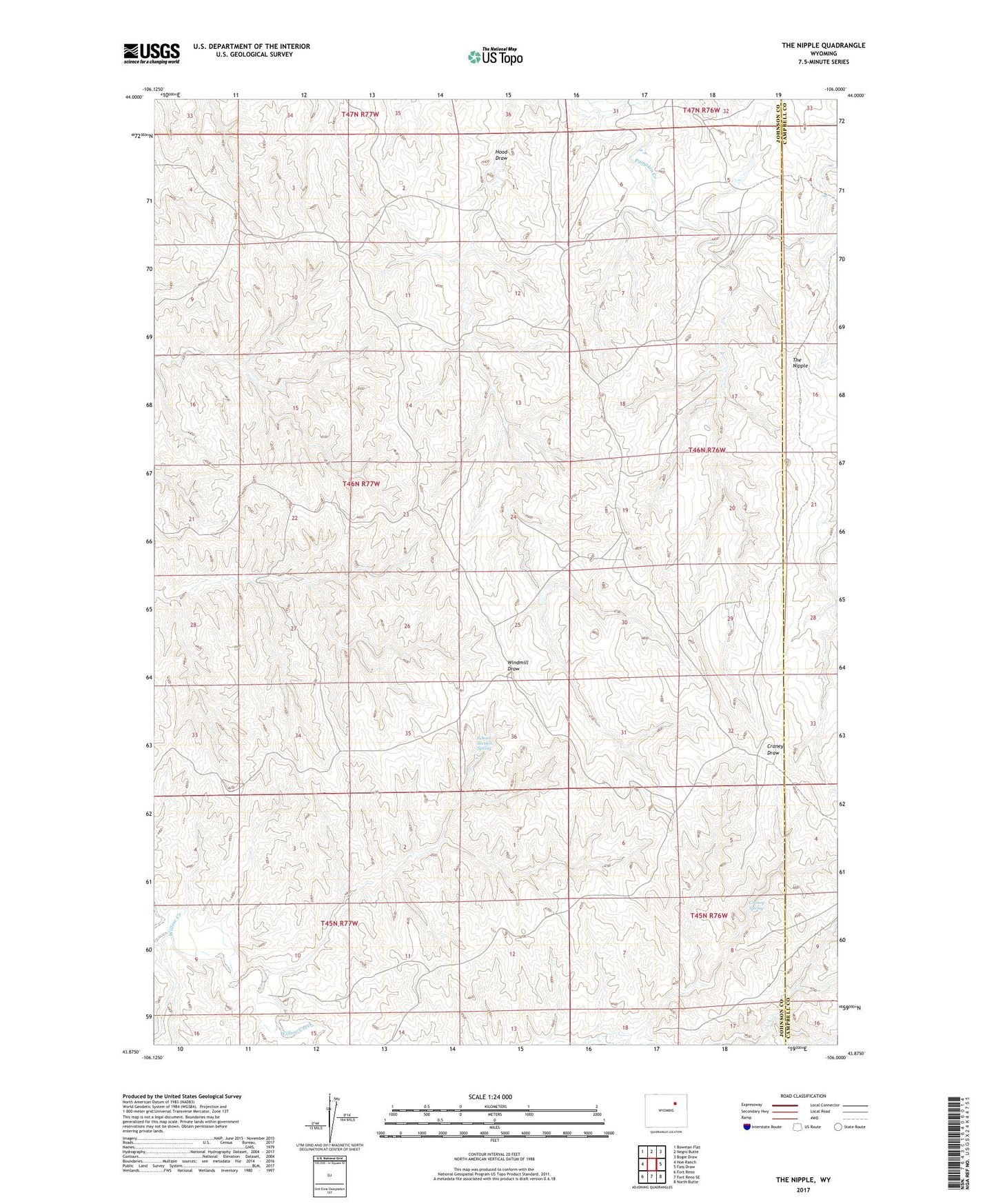
2021 topographic map quadrangle The Nipple in the state of Wyoming. Scale: 1:24000. Based on the newly updated USGS 7.5' US Topo map series, this map is in the following counties: Johnson, Campbell. The map contains contour data, water features, and other items you are used to seeing on USGS maps, but also has updated roads and other features. This is the next generation of topographic maps. Printed on high-quality waterproof paper with UV fade-resistant inks.
Quads adjacent to this one:
West: Hoe Ranch
Northwest: Bowman Flat
North: Negro Butte
Northeast: Bogie Draw
East: Fats Draw
Southeast: North Butte
South: Fort Reno SE
Southwest: Fort Reno
This map covers the same area as the classic USGS quad with code o43106h1.
Contains the following named places: Betsey Bass Claim, Craney Draw Mine, Craney Spring, Dobrenz Ranch, Forest Group Mine, Kershner Pit, P Claim Mine, School Section Spring, The Nipple, Wilson Ranch