MyTopo
Buford Wyoming US Topo Map
Couldn't load pickup availability
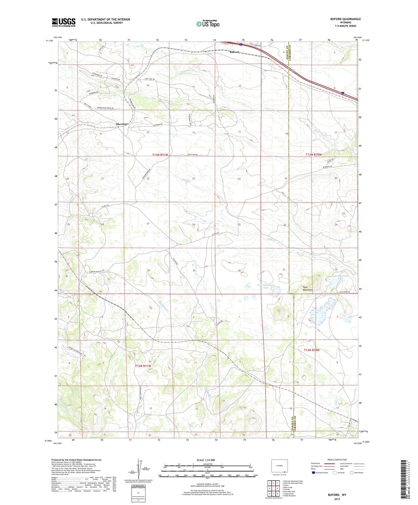
2021 topographic map quadrangle Buford in the state of Wyoming. Scale: 1:24000. Based on the newly updated USGS 7.5' US Topo map series, this map is in the following counties: Albany, Laramie. The map contains contour data, water features, and other items you are used to seeing on USGS maps, but also has updated roads and other features. This is the next generation of topographic maps. Printed on high-quality waterproof paper with UV fade-resistant inks.
Quads adjacent to this one:
West: Dale Creek
Northwest: Sherman Mountains West
North: Sherman Mountains East
Northeast: Hecla
East: Granite
Southeast: Table Mountain
South: Virginia Dale
Southwest: Cherokee Park
This map covers the same area as the classic USGS quad with code o41105a3.
Contains the following named places: Buford, Davis Ranch, Remount Ranch, Sherman, Table Mountain Ranch, Twin Mountains, Twin Mountains Lake, West Fork Dale Creek, Williams Number 1 Dam, Williams Number 1 Reservoir, ZIP Code: 82052