MyTopo
Butte Well Wyoming US Topo Map
Couldn't load pickup availability
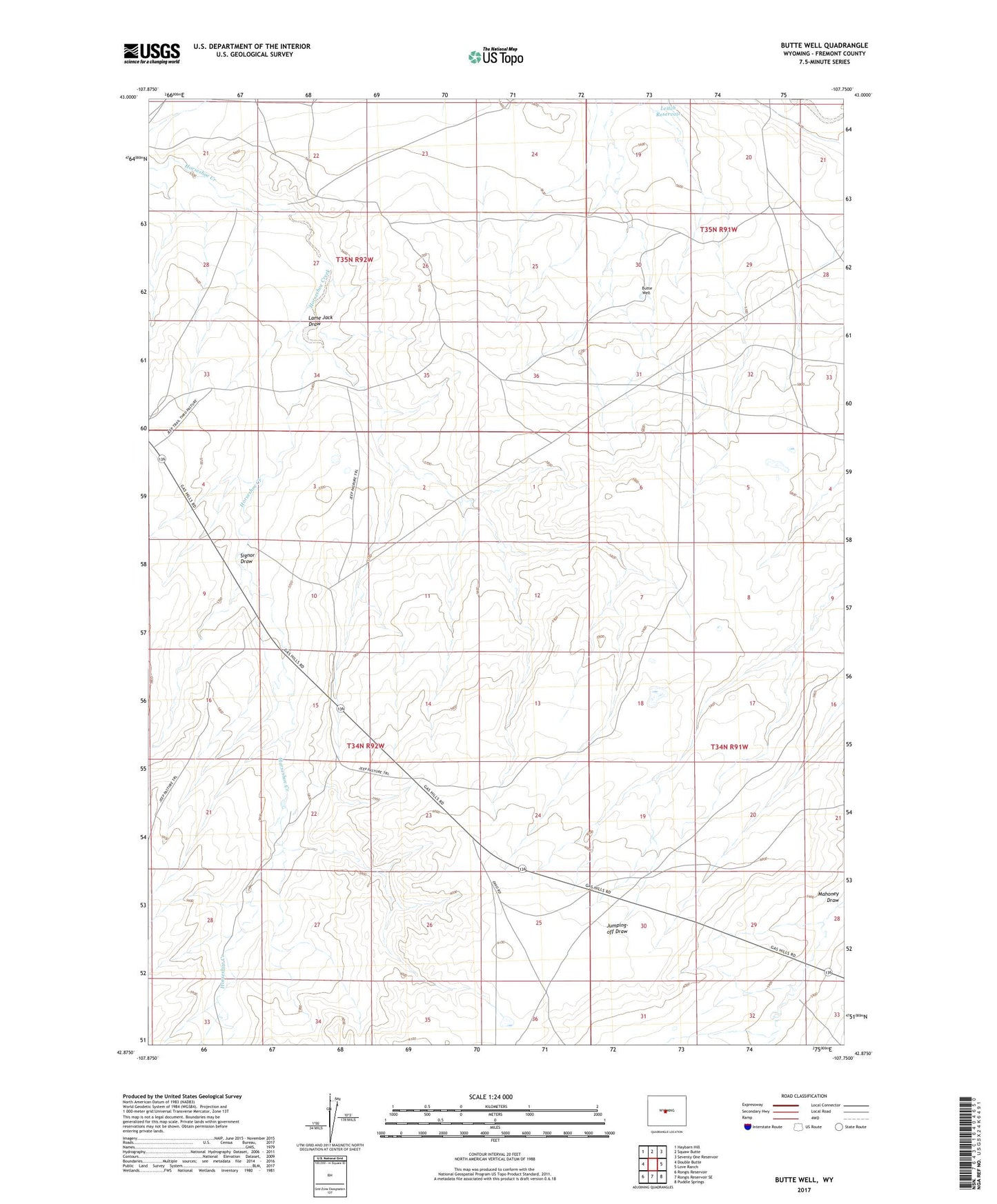
2021 topographic map quadrangle Butte Well in the state of Wyoming. Scale: 1:24000. Based on the newly updated USGS 7.5' US Topo map series, this map is in the following counties: Fremont. The map contains contour data, water features, and other items you are used to seeing on USGS maps, but also has updated roads and other features. This is the next generation of topographic maps. Printed on high-quality waterproof paper with UV fade-resistant inks.
Quads adjacent to this one:
West: Double Butte
Northwest: Haybarn Hill
North: Squaw Butte
Northeast: Seventy One Reservoir
East: Love Ranch
Southeast: Puddle Springs
South: Rongis Reservoir SE
Southwest: Rongis Reservoir
This map covers the same area as the classic USGS quad with code o42107h7.
Contains the following named places: Butte Well, Lame Jack Draw, Leitch Reservoir, McKenzie Artesian Well, McKenzie Windmill, Signor Draw