MyTopo
Cheyenne South Wyoming US Topo Map
Couldn't load pickup availability
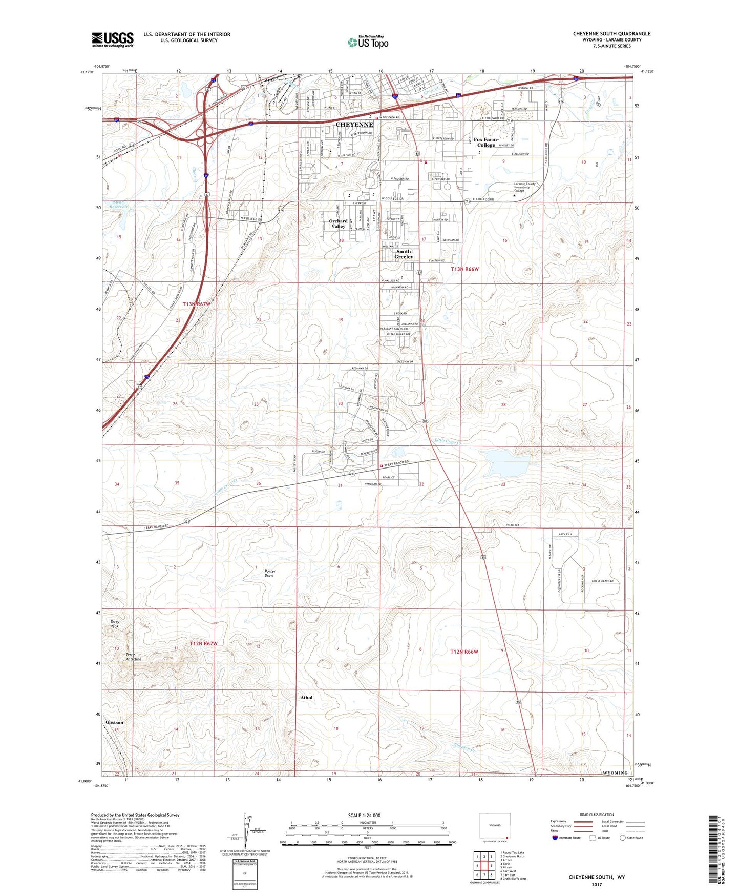
2021 topographic map quadrangle Cheyenne South in the state of Wyoming. Scale: 1:24000. Based on the newly updated USGS 7.5' US Topo map series, this map is in the following counties: Laramie. The map contains contour data, water features, and other items you are used to seeing on USGS maps, but also has updated roads and other features. This is the next generation of topographic maps. Printed on high-quality waterproof paper with UV fade-resistant inks.
Quads adjacent to this one:
West: Borie
Northwest: Round Top Lake
North: Cheyenne North
Northeast: Archer
East: Altvan
Southeast: Chalk Bluffs West
South: Carr East
Southwest: Carr West
This map covers the same area as the classic USGS quad with code o41104a7.
Contains the following named places: Afflerbach Elementary School, Arp Elementary School, Athol, Athol Camp, Chambers Camp, Cheyenne Fire and Rescue Station 2, Civitan Park, Clear Creek Park, Cole Elementary School, Fox Farm-College Census Designated Place, Full Gospel Church, Gleason, Goins Elementary School, Hodge Spring Corral, Intermountain Speedway, Johnson Junior High School, KFBC-AM (Cheyenne), KRAE-AM (Cheyenne), KSHY-AM (Cheyenne), KSHY-AM (Fox Farm), KUUY-AM (Cheyenne), KUUY-AM (Orchard Valley), KVWO Radio Tower (Cheyenne), Laramie County Community College, Laramie County Fire District 1 Cheyenne Station 1, Laramie County Fire District 1 Cheyenne Station 2, McCard Pit Number One, Orchard Valley, Prosser Corral, Rossman Elementary School, South Greeley, South Greeley Census Designated Place, State Line Camp, Swan Camp, Swan Dam, Swan Reservoir, Terry Anticline, Terry Peak, Terry Peak Camp