MyTopo
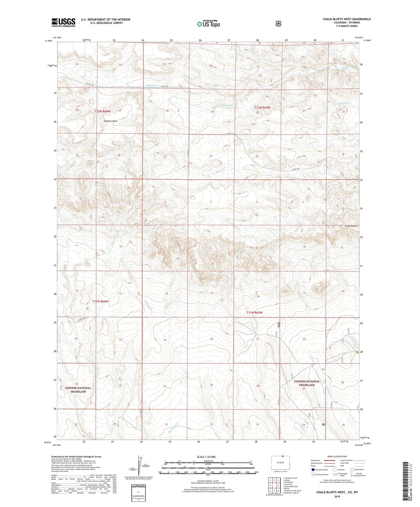
Chalk Bluffs West Colorado US Topo Map
Couldn't load pickup availability
Also explore the Chalk Bluffs West Forest Service Topo of this same quad for updated USFS data
2022 topographic map quadrangle Chalk Bluffs West in the state of Colorado. Scale: 1:24000. Based on the newly updated USGS 7.5' US Topo map series, this map is in the following counties: Weld, Laramie. The map contains contour data, water features, and other items you are used to seeing on USGS maps, but also has updated roads and other features. This is the next generation of topographic maps. Printed on high-quality waterproof paper with UV fade-resistant inks.
Quads adjacent to this one:
West: Carr East
Northwest: Cheyenne South
North: Altvan
Northeast: Campstool
East: Chalk Bluffs East
Southeast: Eastman Creek SE
South: Eastman Creek South
Southwest: Dover
Contains the following named places: Badger Windmill, Big Tank Windmill, Chalk Bluffs, Drain Windmill, Eagle Windmill, East Simpson Well, Eastman Windmill, Heinz Windmill, High Five Windmill, McCormick Windmill, Milligon Well, North Owl Windmill, Prange Windmill, West Simpson Well