MyTopo
Devils Kitchen Wyoming US Topo Map
Couldn't load pickup availability
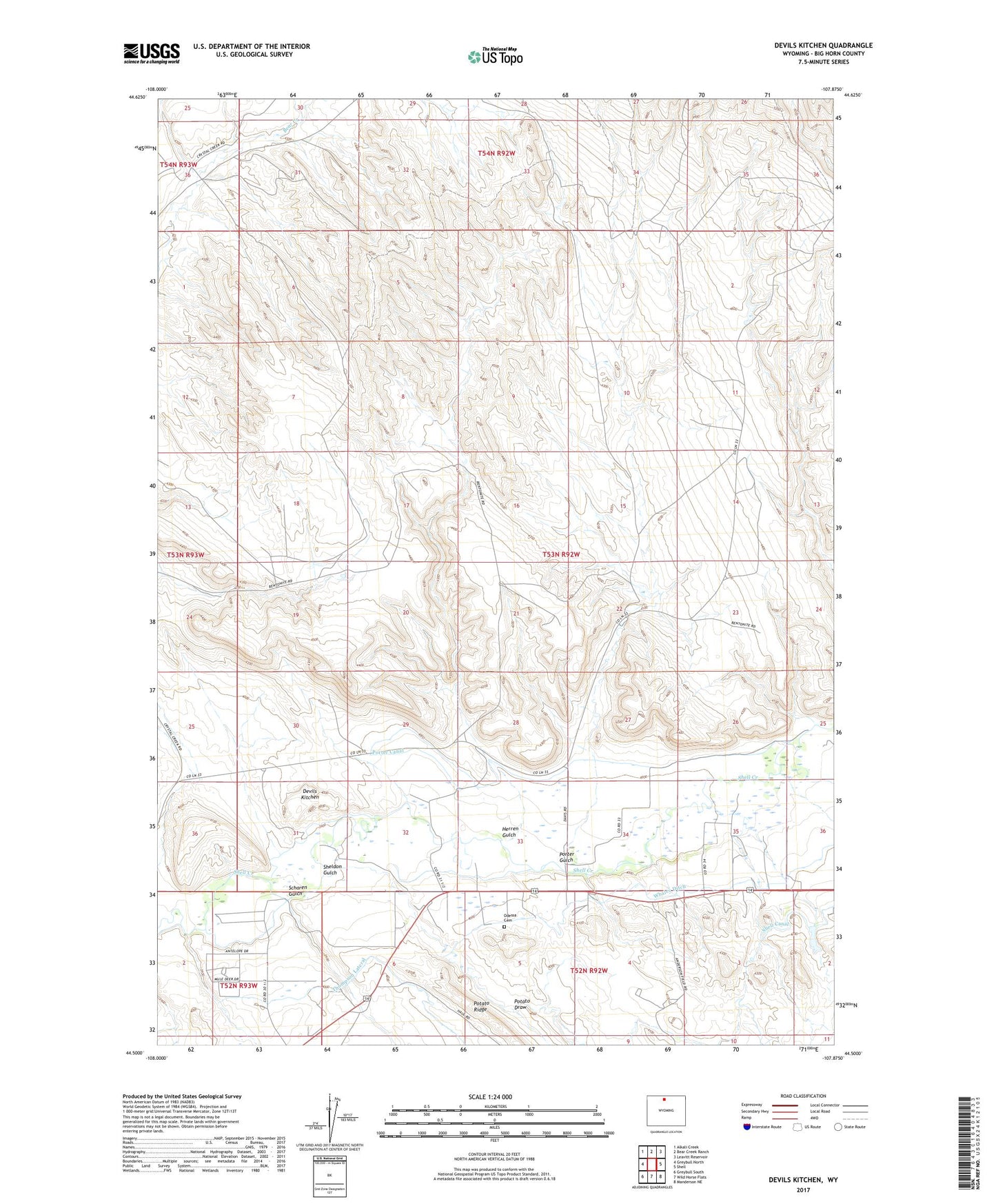
2021 topographic map quadrangle Devils Kitchen in the state of Wyoming. Scale: 1:24000. Based on the newly updated USGS 7.5' US Topo map series, this map is in the following counties: Big Horn. The map contains contour data, water features, and other items you are used to seeing on USGS maps, but also has updated roads and other features. This is the next generation of topographic maps. Printed on high-quality waterproof paper with UV fade-resistant inks.
Quads adjacent to this one:
West: Greybull North
Northwest: Alkali Creek
North: Bear Creek Ranch
Northeast: Leavitt Reservoir
East: Shell
Southeast: Manderson NE
South: Wild Horse Flats
Southwest: Greybull South
This map covers the same area as the classic USGS quad with code o44107e8.
Contains the following named places: Bear Creek Number Two Mine, Big Horn County, Devils Kitchen, Greybull Area Number One Mine, Herren Gulch, Odessa Cemetery, Porter Canal, Porter Gulch, Potato Draw, Scharen Gulch, Sheldon Gulch, Shell Canal Mine, Snake Mine, Thompson Lateral, Whaley Ditch