MyTopo
Doty Hill Wyoming US Topo Map
Couldn't load pickup availability
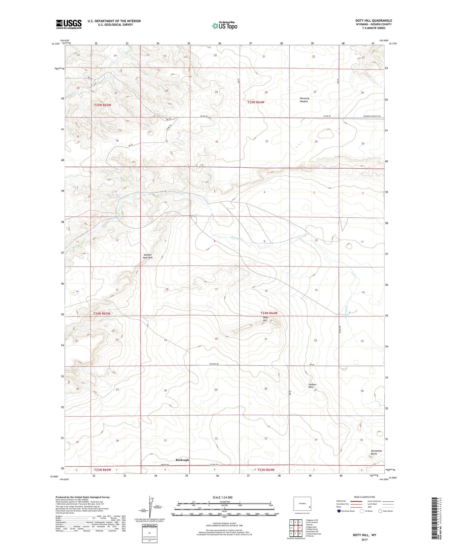
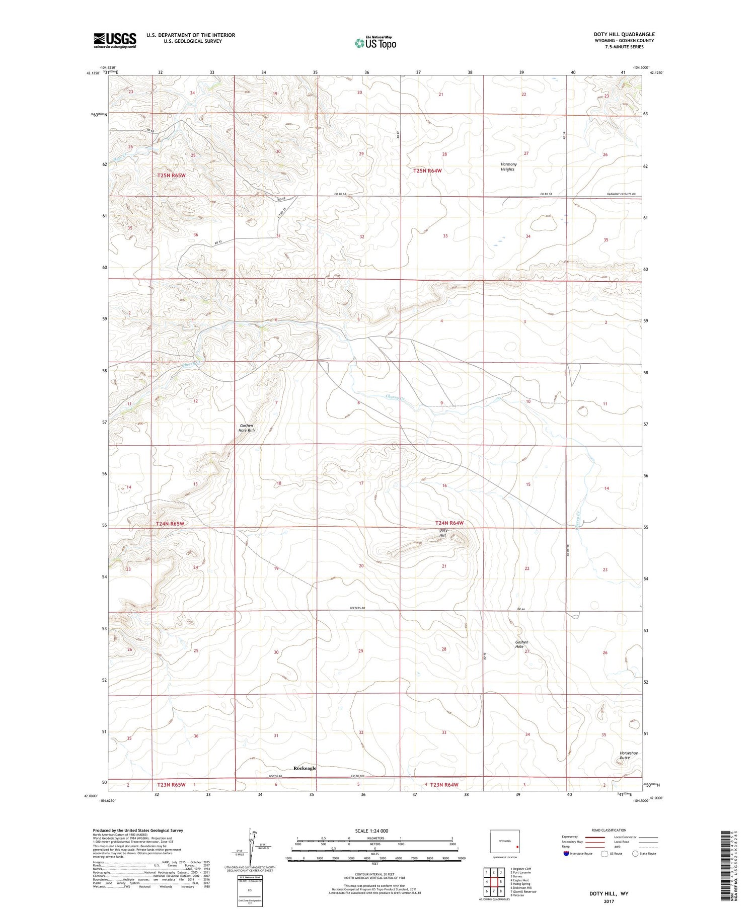
2021 topographic map quadrangle Doty Hill in the state of Wyoming. Scale: 1:24000. Based on the newly updated USGS 7.5' US Topo map series, this map is in the following counties: Goshen. The map contains contour data, water features, and other items you are used to seeing on USGS maps, but also has updated roads and other features. This is the next generation of topographic maps. Printed on high-quality waterproof paper with UV fade-resistant inks.
Quads adjacent to this one:
West: Eagles Nest
Northwest: Register Cliff
North: Fort Laramie
Northeast: Barnes
East: Habig Spring
Southeast: Veteran
South: Glomill Reservoir
Southwest: Dickinson Hill
Contains the following named places: Doty Hill, Goshen Hole, Harmony Heights, Horseshoe Butte, Long Gulch Dam, Long Gulch Reservoir, Old Doty Ranch Site, Rockeagle