MyTopo
Register Cliff Wyoming US Topo Map
Couldn't load pickup availability
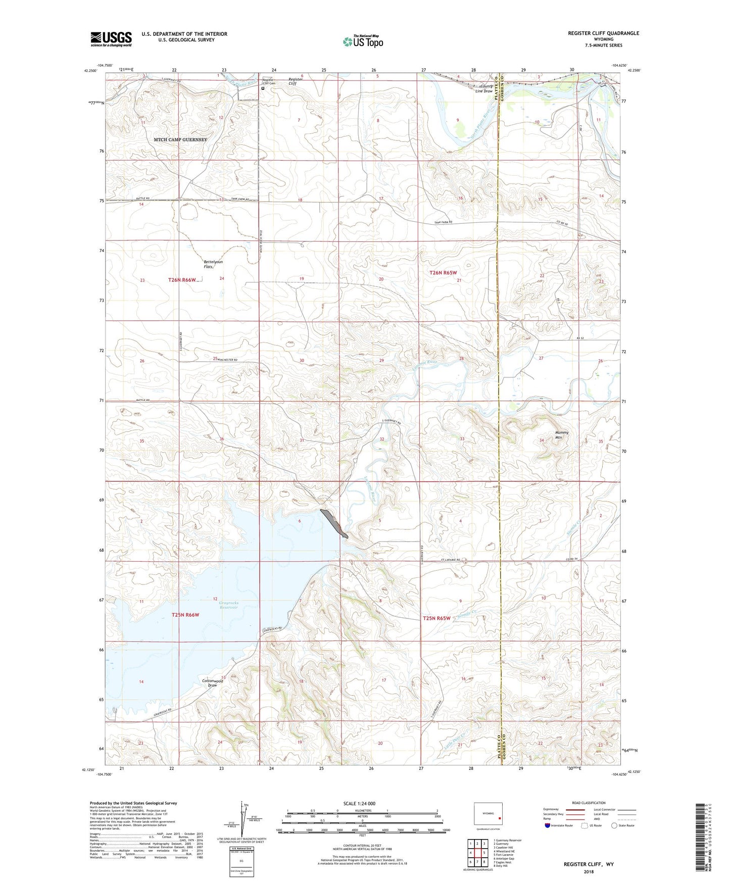
2021 topographic map quadrangle Register Cliff in the state of Wyoming. Scale: 1:24000. Based on the newly updated USGS 7.5' US Topo map series, this map is in the following counties: Platte, Goshen. The map contains contour data, water features, and other items you are used to seeing on USGS maps, but also has updated roads and other features. This is the next generation of topographic maps. Printed on high-quality waterproof paper with UV fade-resistant inks.
Quads adjacent to this one:
West: Wheatland NE
Northwest: Guernsey Reservoir
North: Guernsey
Northeast: Casebier Hill
East: Fort Laramie
Southeast: Doty Hill
South: Eagles Nest
Southwest: Antelope Gap
This map covers the same area as the classic USGS quad with code o42104b6.
Contains the following named places: Bettelyoun Flats, Bright and Southerland Ditch, Cottonwood Draw, County Line Draw, Grayrocks Dam, Grayrocks Reservoir, Mummy Mountain, Old Guernsey Ranch, Register Cliff, Register Cliff Cemetery, Register Cliff Monument, Whalen Diversion Dam