MyTopo
Downey Lakes Wyoming US Topo Map
Couldn't load pickup availability
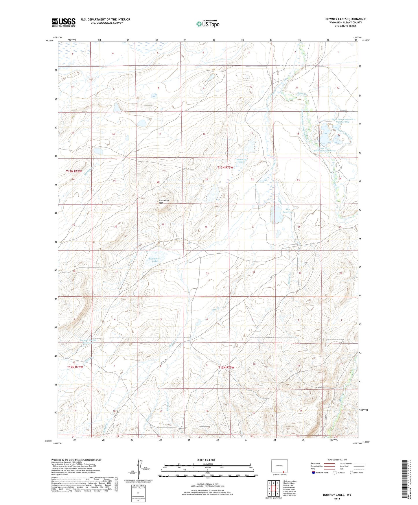
2021 topographic map quadrangle Downey Lakes in the state of Wyoming. Scale: 1:24000. Based on the newly updated USGS 7.5' US Topo map series, this map is in the following counties: Albany. The map contains contour data, water features, and other items you are used to seeing on USGS maps, but also has updated roads and other features. This is the next generation of topographic maps. Printed on high-quality waterproof paper with UV fade-resistant inks.
Quads adjacent to this one:
West: Jelm Mountain
Northwest: Sodergreen Lake
North: Caldwell Lake
Northeast: Hutton Lake
East: Johnson Ranch
Southeast: Eaton Reservoir
South: Sand Creek Pass
Southwest: Crazy Mountain
This map covers the same area as the classic USGS quad with code o41105a7.
Contains the following named places: Bull Run Creek, Davis Brothers Ditch Number 1, Downey Lakes, Dry Creek, East Shell Creek, Lindsey Creek, Lone Tree Ditch, Lone Tree Number 1 Dam, Lone Tree Reservoir Number 2, Lone Tree Reservoir Number One, Middle Downey Lake Mine, North Downey Lake Mine, Rice Reservoir, Riverside Ranch Mine, Shell Creek, South Downey Lake Mine, Spring Creek, Spring Creek Ranch, Steamboat Lake, Steamboat Rock, Stink Creek, Trapper Spring Reservoir