MyTopo
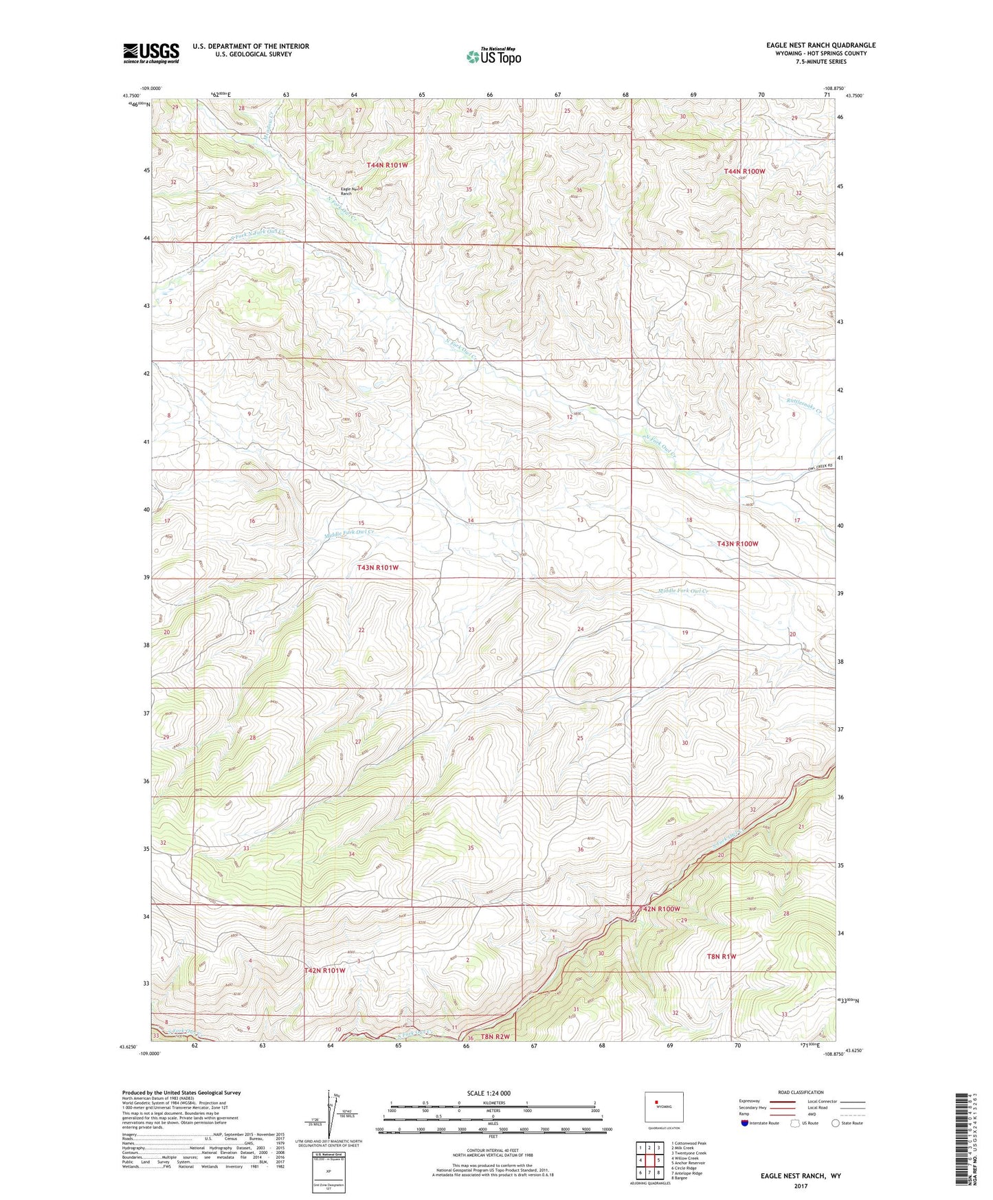
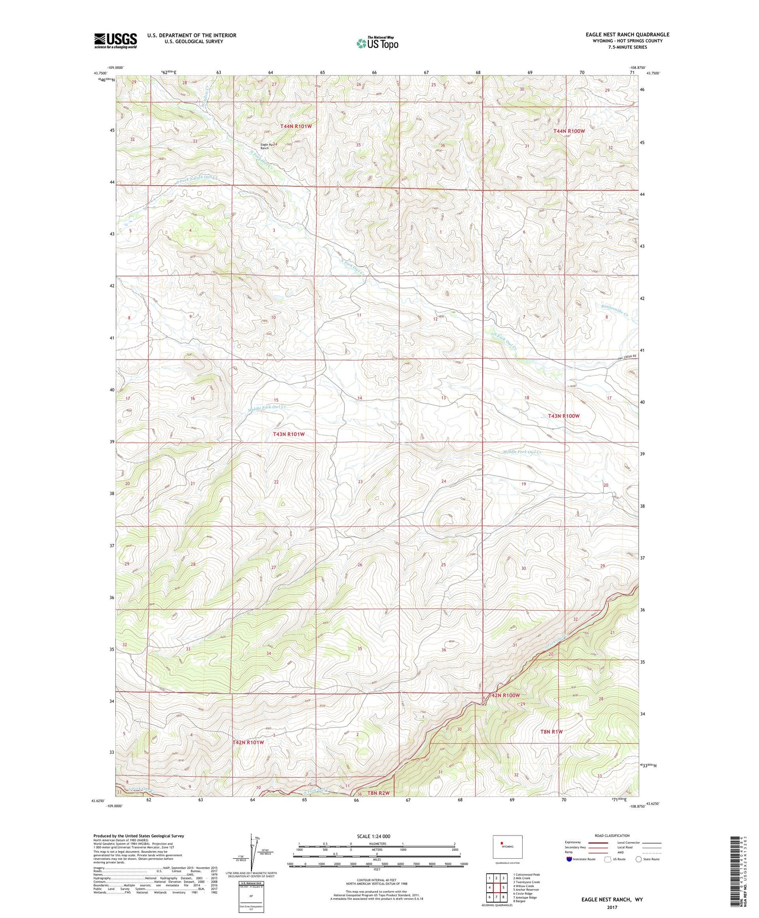
Eagle Nest Ranch Wyoming US Topo Map
Couldn't load pickup availability
2021 topographic map quadrangle Eagle Nest Ranch in the state of Wyoming. Scale: 1:24000. Based on the newly updated USGS 7.5' US Topo map series, this map is in the following counties: Hot Springs. The map contains contour data, water features, and other items you are used to seeing on USGS maps, but also has updated roads and other features. This is the next generation of topographic maps. Printed on high-quality waterproof paper with UV fade-resistant inks.
Quads adjacent to this one:
West: Willow Creek
Northwest: Cottonwood Peak
North: Milk Creek
Northeast: Twentyone Creek
East: Anchor Reservoir
Southeast: Bargee
South: Antelope Ridge
Southwest: Circle Ridge
Contains the following named places: Eagle Nest Ranch, Meadow Creek, Middle Branch Middle Fork Owl Creek, South Branch Middle Fork Owl Creek, South Fork North Fork Owl Creek