MyTopo
Emigrant Gap NE Wyoming US Topo Map
Couldn't load pickup availability
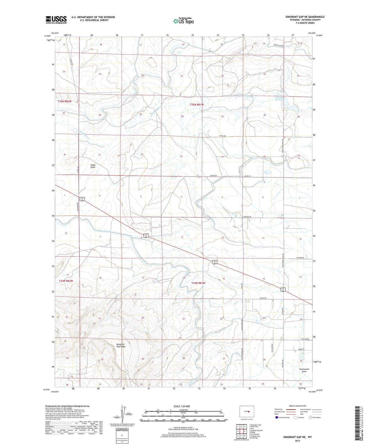
2021 topographic map quadrangle Emigrant Gap NE in the state of Wyoming. Scale: 1:24000. Based on the newly updated USGS 7.5' US Topo map series, this map is in the following counties: Natrona. The map contains contour data, water features, and other items you are used to seeing on USGS maps, but also has updated roads and other features. This is the next generation of topographic maps. Printed on high-quality waterproof paper with UV fade-resistant inks.
Quads adjacent to this one:
West: Emigrant Gap NW
Northwest: Burlington Lake
North: Smith Flats
Northeast: Illco
East: Bishop
Southeast: Goose Egg
South: Emigrant Gap
Southwest: Oil Mountain
This map covers the same area as the classic USGS quad with code o42106h5.
Contains the following named places: Bressler Dam, Bressler Reservoir, Emigrant Gap Ridge, Johnson Canal, Johnson Lateral, Thirtythree Mile Ranch, Tudor Draw, Twelvemile Draw