MyTopo
Federal Wyoming US Topo Map
Couldn't load pickup availability
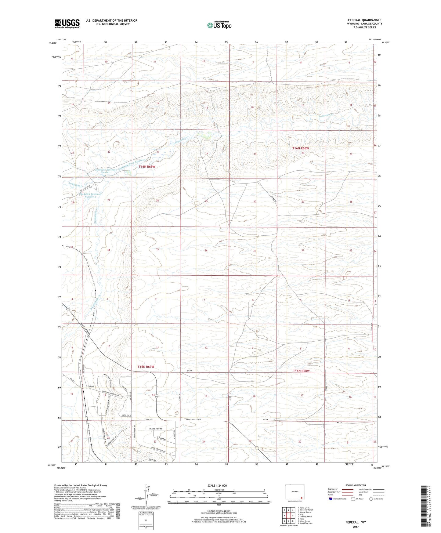
2021 topographic map quadrangle Federal in the state of Wyoming. Scale: 1:24000. Based on the newly updated USGS 7.5' US Topo map series, this map is in the following counties: Laramie. The map contains contour data, water features, and other items you are used to seeing on USGS maps, but also has updated roads and other features. This is the next generation of topographic maps. Printed on high-quality waterproof paper with UV fade-resistant inks.
Quads adjacent to this one:
West: Islay
Northwest: Horse Creek
North: Dereemer Ranch
Northeast: Nimmo Ranch
East: Farthing Ranch
Southeast: Round Top Lake
South: Silver Crown
Southwest: Hecla
This map covers the same area as the classic USGS quad with code o41105c1.
Contains the following named places: Chadwick Ditch Number 5, Chadwick Reservoir Number 1, Chadwick Reservoir Number 2, Cheyenne West Division, Dyer Ditch Number 8, Federal, Islay Ranch, King Merritt Ranch, South Lodgepole Creek, Thiel Field