MyTopo
Frannie Wyoming US Topo Map
Couldn't load pickup availability
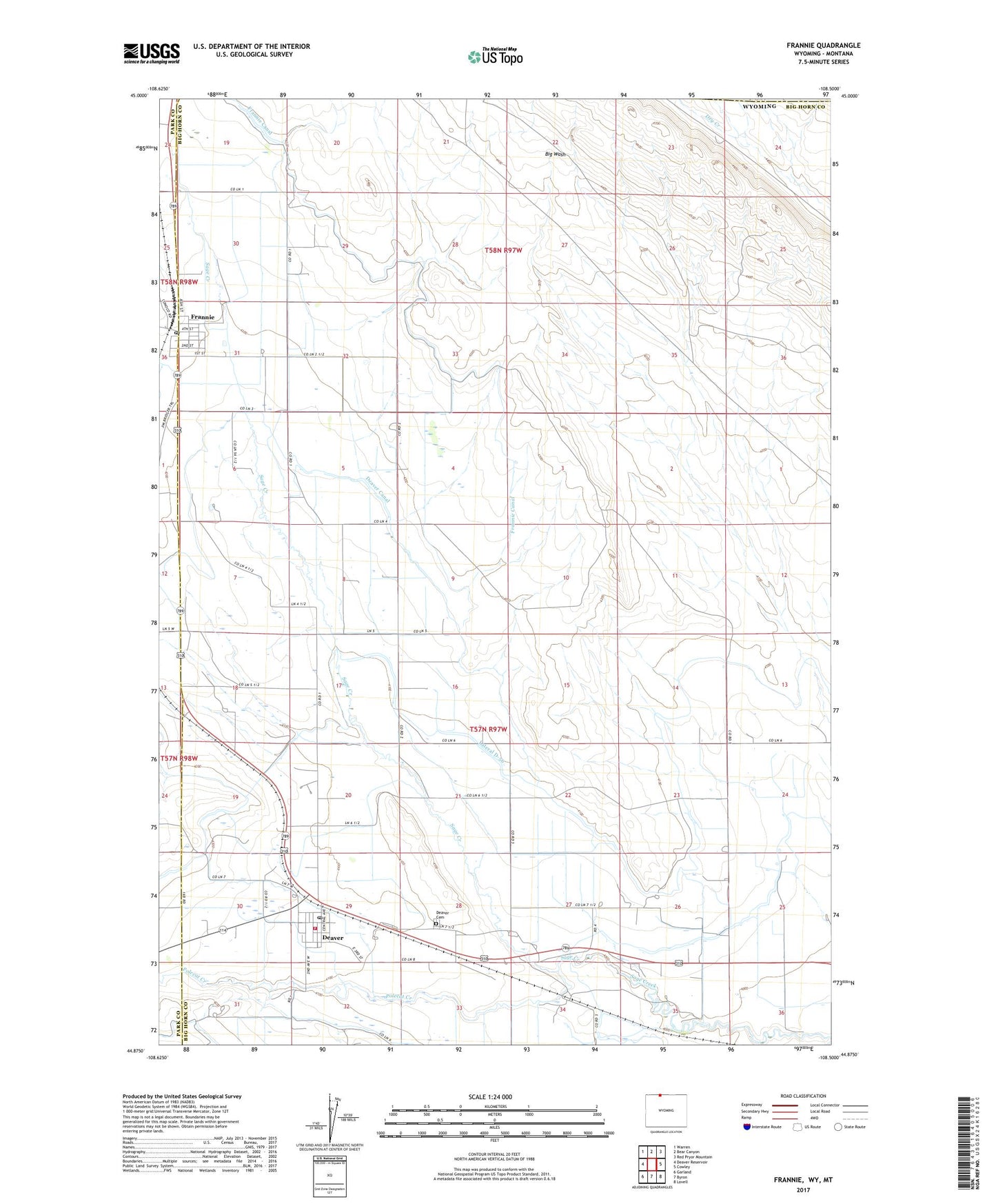
2021 topographic map quadrangle Frannie in the state of Wyoming. Scale: 1:24000. Based on the newly updated USGS 7.5' US Topo map series, this map is in the following counties: Big Horn, Park, Carbon. The map contains contour data, water features, and other items you are used to seeing on USGS maps, but also has updated roads and other features. This is the next generation of topographic maps. Printed on high-quality waterproof paper with UV fade-resistant inks.
Quads adjacent to this one:
West: Deaver Reservoir
Northwest: Warren
North: Bear Canyon
Northeast: Red Pryor Mountain
East: Cowley
Southeast: Lovell
South: Byron
Southwest: Garland
This map covers the same area as the classic USGS quad with code o44108h5.
Contains the following named places: Big Horn County Fire Protection District 5 Deaver, Deaver, Deaver Canal, Deaver Cemetery, Deaver Post Office, Deaver-Frannie School, Dry Gulch Mine, Frannie, Frannie Post Office, Lateral D-23, Lateral D-56, Polecat Creek, Rocky Mountain Middle School, Town of Deaver, Town of Frannie, ZIP Codes: 82421, 82423