MyTopo
Gros Ventre Junction Wyoming US Topo Map
Couldn't load pickup availability
Also explore the Gros Ventre Junction Forest Service Topo of this same quad for updated USFS data
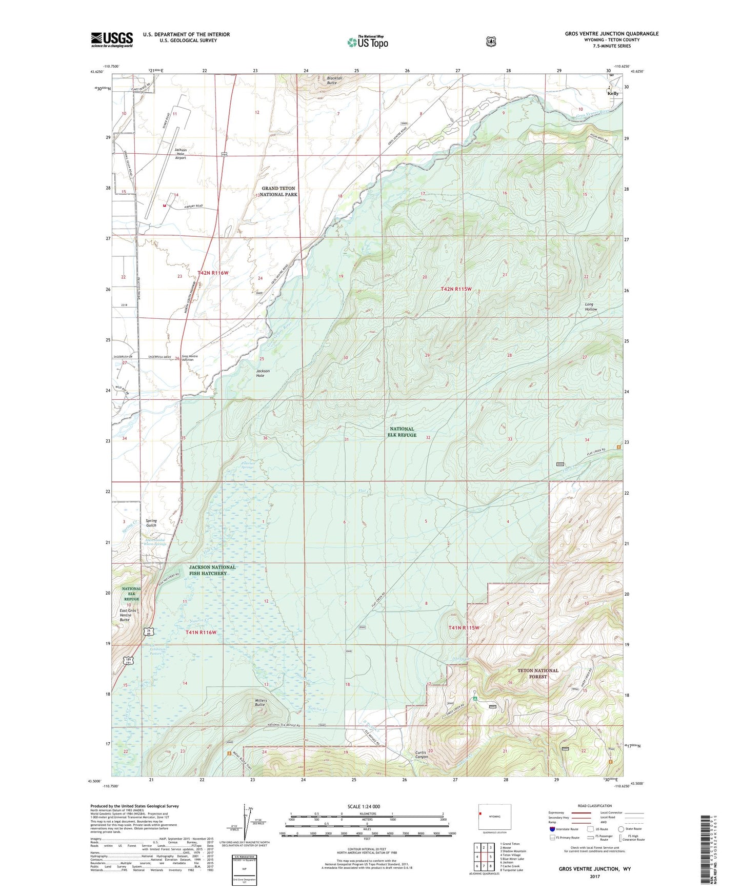
2021 topographic map quadrangle Gros Ventre Junction in the state of Wyoming. Scale: 1:24000. Based on the newly updated USGS 7.5' US Topo map series, this map is in the following counties: Teton. The map contains contour data, water features, and other items you are used to seeing on USGS maps, but also has updated roads and other features. This is the next generation of topographic maps. Printed on high-quality waterproof paper with UV fade-resistant inks.
Quads adjacent to this one:
West: Teton Village
Northwest: Grand Teton
North: Moose
Northeast: Shadow Mountain
East: Blue Miner Lake
Southeast: Turquoise Lake
South: Cache Creek
Southwest: Jackson
This map covers the same area as the classic USGS quad with code o43110e6.
Contains the following named places: Abercrombie Warm Springs, Curtis Canyon, Curtis Canyon Campground, Curtis Canyon Overlook, Elk Exhibition Pasture, Gros Ventre Campground, Gros Ventre Junction, Jackson Hole Airport, Jackson Hole Airport Fire Department, Jackson National Fish Hatchery, Kelly Census Designated Place, Kelly Post Office, Long Hollow, Millers Butte, National Elk Refuge, National Museum of Wildlife Art of the United States, North Twin Creek, Nowlin Creek, Peterson Springs, Sheep Creek, Sleeping Indian Pond, South Twin Creek, Twin Creek Ranch, Warm Springs Ranch