
MyTopo
Guide Rock Wyoming US Topo Map
Couldn't load pickup availability
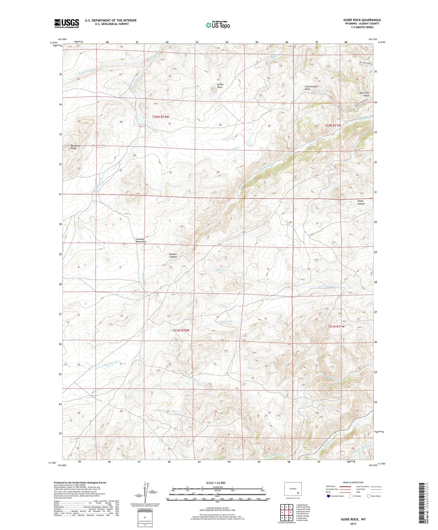
2021 topographic map quadrangle Guide Rock in the state of Wyoming. Scale: 1:24000. Based on the newly updated USGS 7.5' US Topo map series, this map is in the following counties: Albany. The map contains contour data, water features, and other items you are used to seeing on USGS maps, but also has updated roads and other features. This is the next generation of topographic maps. Printed on high-quality waterproof paper with UV fade-resistant inks.
Quads adjacent to this one:
West: Bluegrass Wells
Northwest: Dodge Ranch
North: Bull Camp Peak
Northeast: Moonshine Peak
East: Poe Mountain
Southeast: Indian Guide
South: Sheep Rock
Southwest: Sybille Springs
Contains the following named places: Bluegrass Ridge, East Bluegrass Creek, Guide Rock, Pine Tree Draw, Sybille Game and Fish Experimental Unit, West Bluegrass Creek


