MyTopo
Hague Creek Wyoming US Topo Map
Couldn't load pickup availability
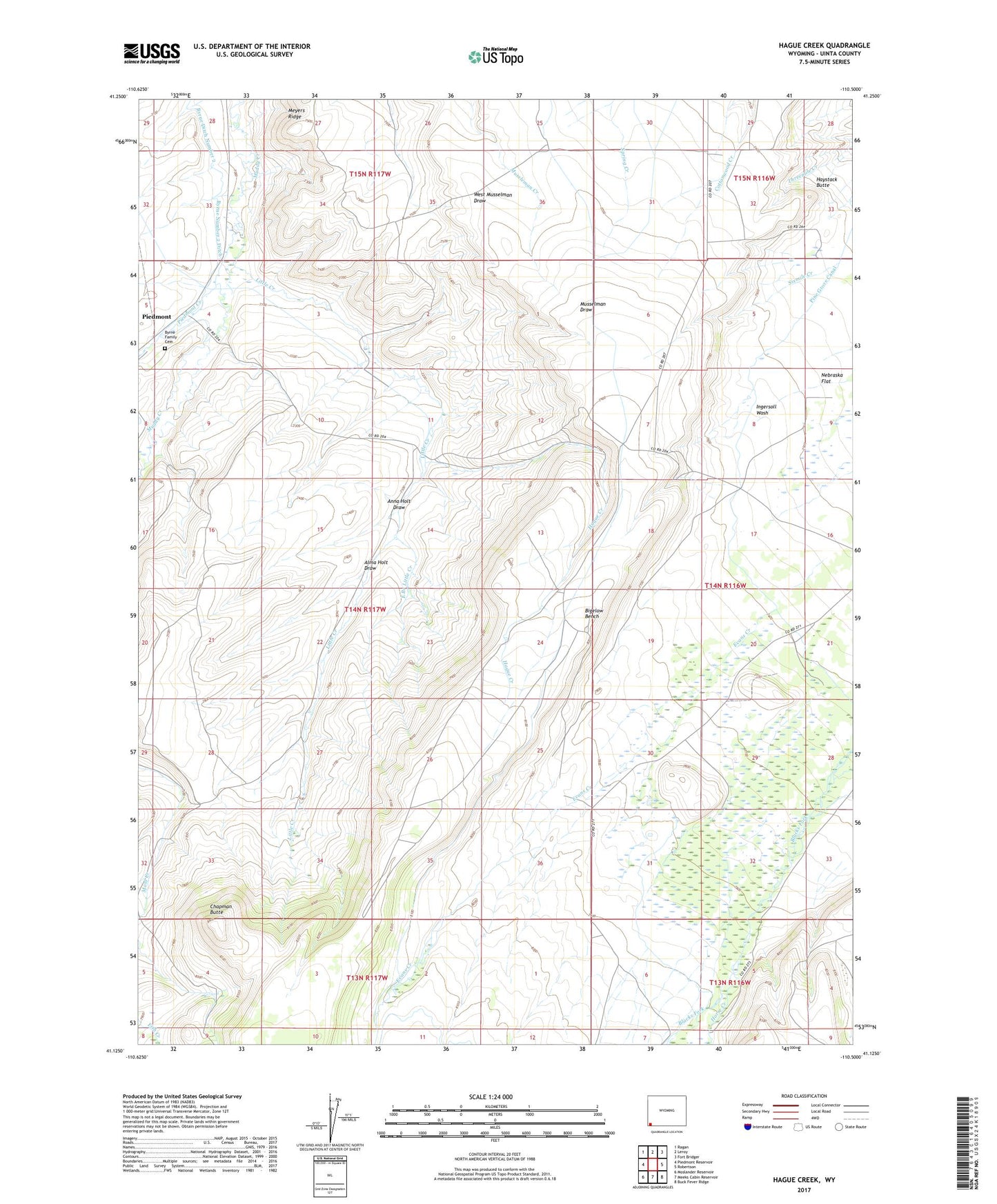
2021 topographic map quadrangle Hague Creek in the state of Wyoming. Scale: 1:24000. Based on the newly updated USGS 7.5' US Topo map series, this map is in the following counties: Uinta. The map contains contour data, water features, and other items you are used to seeing on USGS maps, but also has updated roads and other features. This is the next generation of topographic maps. Printed on high-quality waterproof paper with UV fade-resistant inks.
Quads adjacent to this one:
West: Piedmont Reservoir
Northwest: Ragan
North: Leroy
Northeast: Fort Bridger
East: Robertson
Southeast: Buck Fever Ridge
South: Meeks Cabin Reservoir
Southwest: Moslander Reservoir
Contains the following named places: Alma Holt Draw, Anna Holt Draw, Bigelow Bench, Byrne Family Cemetery, Byrne Number 2 Ditch, Chapman Butte, East Branch Little Creek, Evans Creek, Hague Creek, Haystack Butte, Horse Creek, Little Creek, Meyers Ridge, Pate Ditch, Piedmont Creek, Pine Grove Canal, Sixmile Creek