MyTopo
Hanna Wyoming US Topo Map
Couldn't load pickup availability
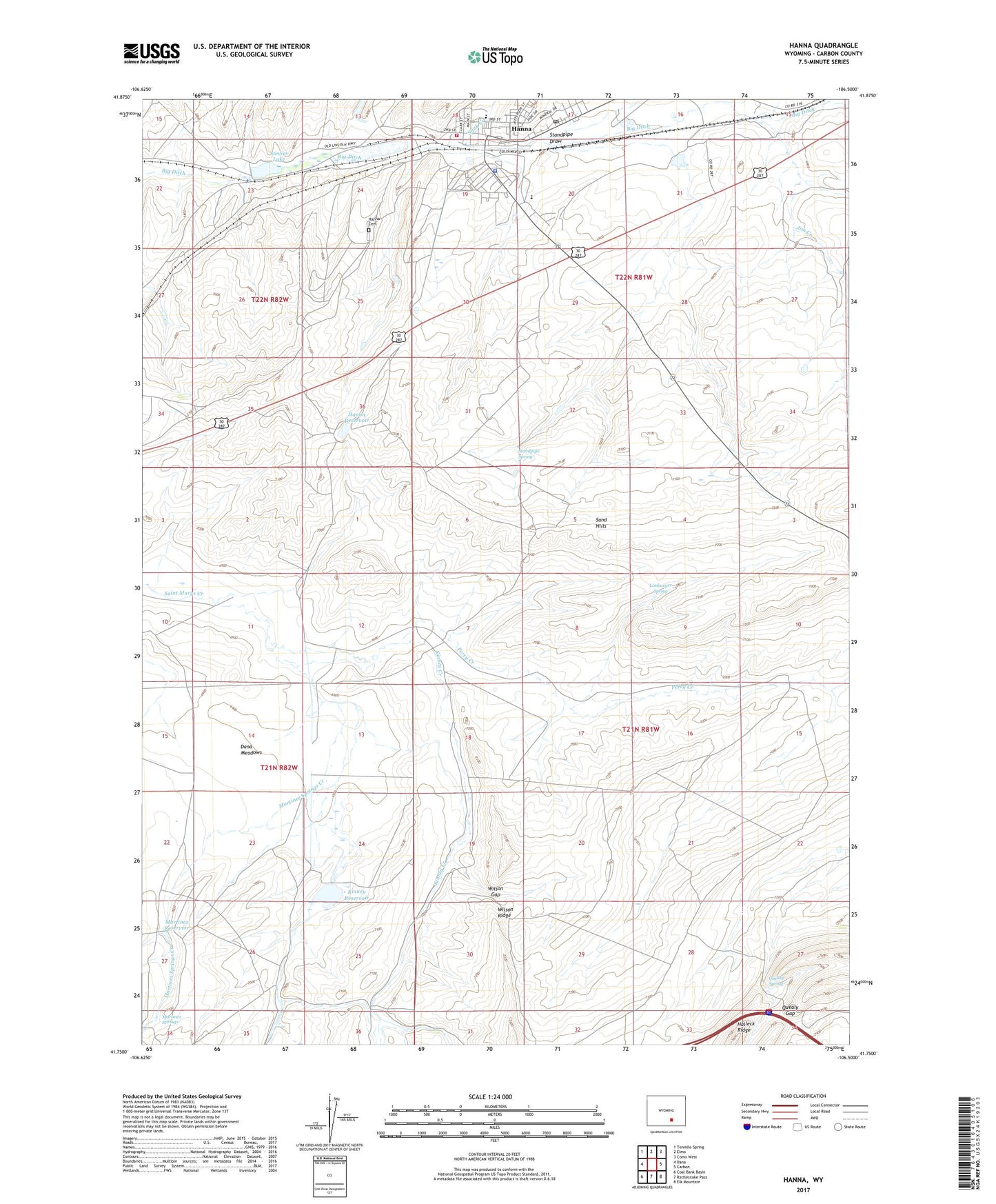
2021 topographic map quadrangle Hanna in the state of Wyoming. Scale: 1:24000. Based on the newly updated USGS 7.5' US Topo map series, this map is in the following counties: Carbon. The map contains contour data, water features, and other items you are used to seeing on USGS maps, but also has updated roads and other features. This is the next generation of topographic maps. Printed on high-quality waterproof paper with UV fade-resistant inks.
Quads adjacent to this one:
West: Dana
Northwest: Tenmile Spring
North: Elmo
Northeast: Como West
East: Carbon
Southeast: Elk Mountain
South: Rattlesnake Pass
Southwest: Coal Bank Basin
This map covers the same area as the classic USGS quad with code o41106g5.
Contains the following named places: Carbon County Fire Department / Hannah Division, Dana Springs Creek, Halleck Ridge, Hanna, Hanna Cemetery, Hanna Junction, Hanna Number Five Mine, Hanna Number Four Mine, Hanna Number Four-A Mine, Hanna Number One Mine, Hanna Number Six Mine, Hanna Number Three Mine, Hanna Number Three-and-a-half Mine, Hanna Number Two Mine, Hanna Police Department, Hanna Post Office, Hanna Reservoir, Hanna School, Hanna-Elk Mountain High School, Hanna-Elk Mountain Junior High School, Jim Creek, Kinney Creek, Kinney Dam, Kinney Reservoir, Kortes Dam School, Laramie Energy Research Center Mine, Limburger Spring, Martinez Reservoir, Martinez Springs, Martinez Springs Creek, Mine Disaster Memorial, Old Percy, Percy Creek, Quealy Gap, Quealy Spring, Rosebud Pit Number One Mine, Sand Hills, Standpipe Draw, Standpipe Spring, Stephenson Dam, Stephenson Reservoir, Stevies Lake, Stink Creek, Town of Hanna, Weed Creek, Wilson Gap, Wilson Ridge