MyTopo
Hibbard Draw Wyoming US Topo Map
Couldn't load pickup availability
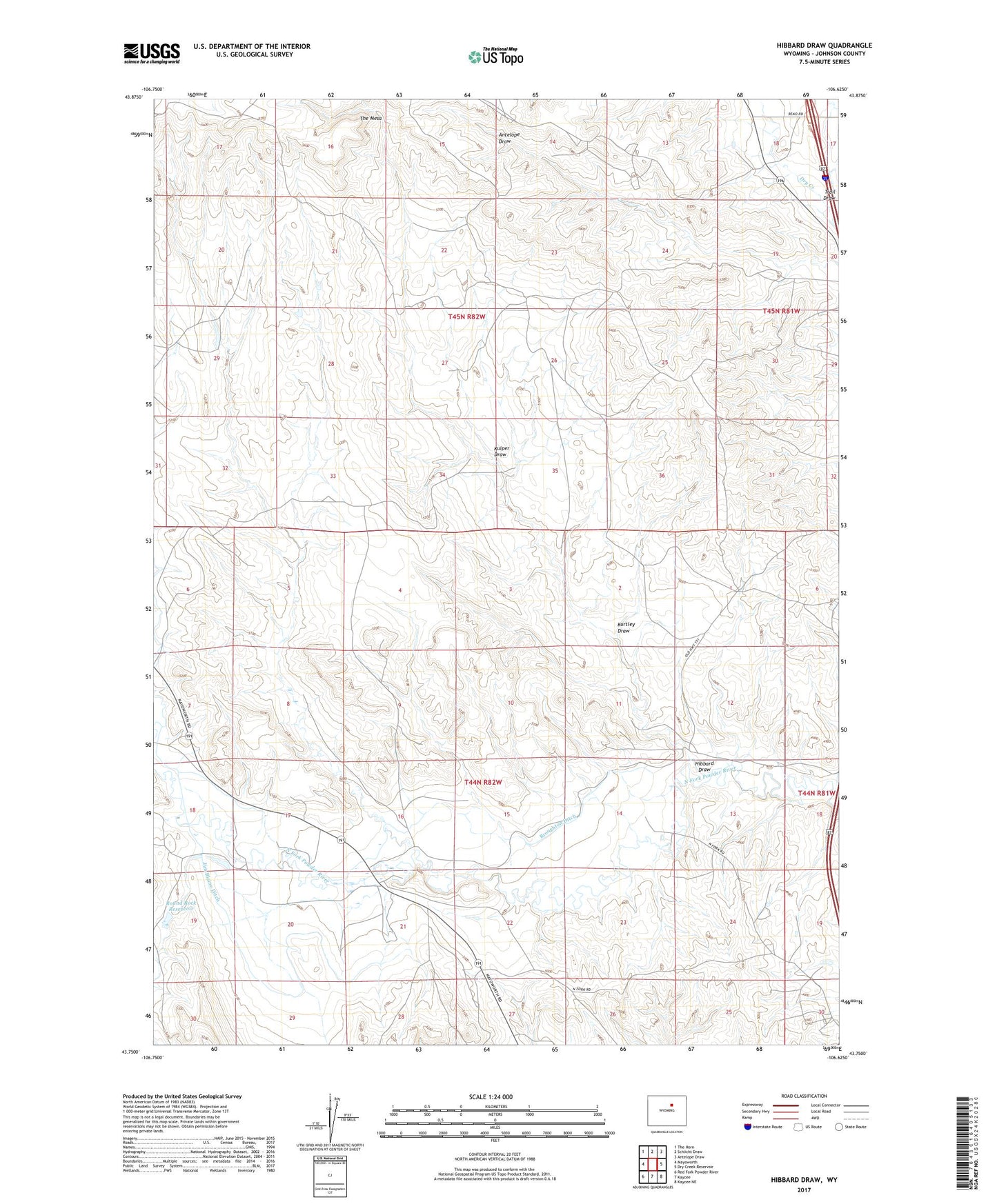
2021 topographic map quadrangle Hibbard Draw in the state of Wyoming. Scale: 1:24000. Based on the newly updated USGS 7.5' US Topo map series, this map is in the following counties: Johnson. The map contains contour data, water features, and other items you are used to seeing on USGS maps, but also has updated roads and other features. This is the next generation of topographic maps. Printed on high-quality waterproof paper with UV fade-resistant inks.
Quads adjacent to this one:
West: Mayoworth
Northwest: The Horn
North: Schlicht Draw
Northeast: Antelope Draw
East: Dry Creek Reservoir
Southeast: Kaycee NE
South: Kaycee
Southwest: Red Fork Powder River
This map covers the same area as the classic USGS quad with code o43106g6.
Contains the following named places: Benton Clay Bentonite Mine, Bob Brock Ditch, Broughton Ditch, Cellar Number Four Mine, Cellers Ranch, Cellers Ranch Oil Field, Crutchet Ranch, Daniels Pit Number Two Mine, Hardluck Reservoir, Hibbard Draw, Jim Blaine Ditch, Kaycee Bentonite Corporation Number Ninety-seven Mine, Kaycee Bentonite Corporation Number One-hundred Mine, Kuiper Draw, Kuiper Ranch, Kurtley Draw, Mayworth Number Seven and Eight Mine, North Fork Oil Field, Pass Creek, Pass Creek Dam, Pass Creek Number 2 Dam, Roehm Ranch, Round Rock Reservoir, Zigweid Ranch