
MyTopo
Iron Creek Wyoming US Topo Map
Couldn't load pickup availability
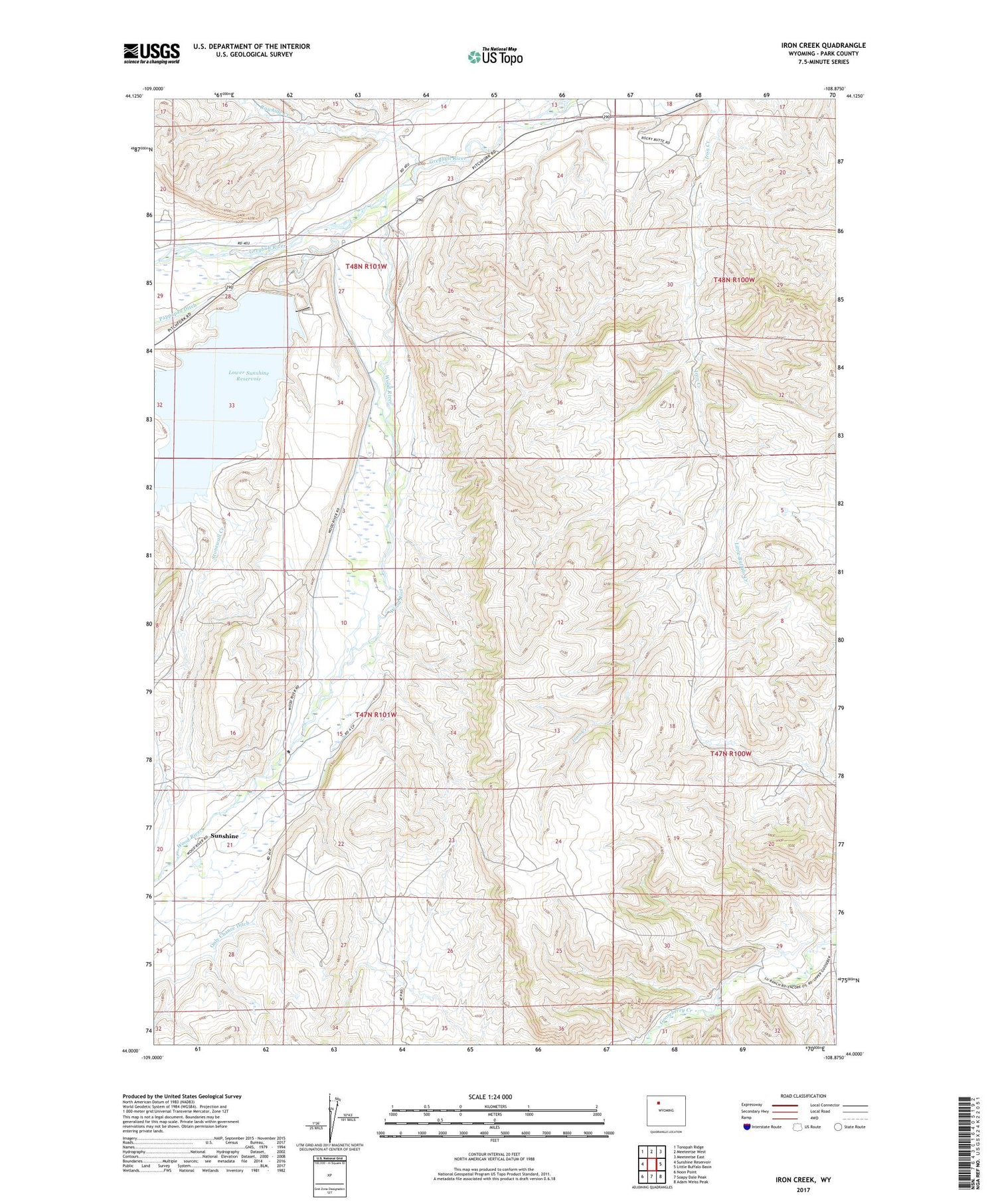
2021 topographic map quadrangle Iron Creek in the state of Wyoming. Scale: 1:24000. Based on the newly updated USGS 7.5' US Topo map series, this map is in the following counties: Park. The map contains contour data, water features, and other items you are used to seeing on USGS maps, but also has updated roads and other features. This is the next generation of topographic maps. Printed on high-quality waterproof paper with UV fade-resistant inks.
Quads adjacent to this one:
West: Sunshine Reservoir
Northwest: Tonopah Ridge
North: Meeteetse West
Northeast: Meeteetse East
East: Little Buffalo Basin
Southeast: Adam Weiss Peak
South: Soapy Dale Peak
Southwest: Noon Point
Contains the following named places: Barling Pit West, Bennion Pit, Christipherson Mine, Dumbell, Iron Creek Dam, Iron Creek Reservoir, Lower Sunshine Dam, Lower Sunshine Reservoir, Only Chance Ditch, Pappapau Ditch, Rawhide Creek, Renner's Ranch, Stonewall Creek, Sunshine, Sunshine Creek, Wood River


