MyTopo
James Lake Wyoming US Topo Map
Couldn't load pickup availability
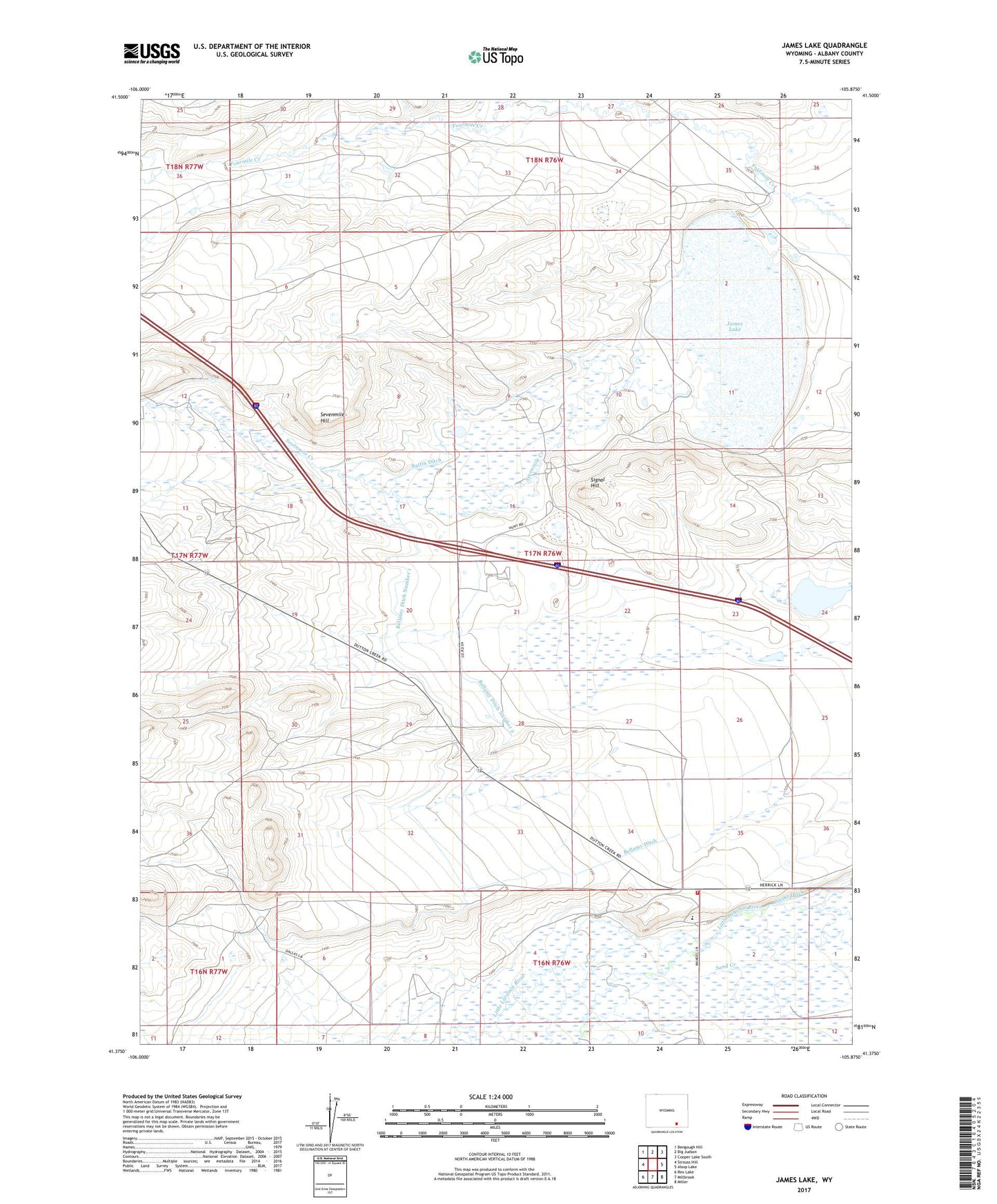
2021 topographic map quadrangle James Lake in the state of Wyoming. Scale: 1:24000. Based on the newly updated USGS 7.5' US Topo map series, this map is in the following counties: Albany. The map contains contour data, water features, and other items you are used to seeing on USGS maps, but also has updated roads and other features. This is the next generation of topographic maps. Printed on high-quality waterproof paper with UV fade-resistant inks.
Quads adjacent to this one:
West: Strouss Hill
Northwest: Bengough Hill
North: Big Judson
Northeast: Cooper Lake South
East: Alsop Lake
Southeast: Miller
South: Millbrook
Southwest: Rex Lake
Contains the following named places: Battin Ditch, Bellamy Ditch Number 1, Bellamy Ditch Number 2, Hunt Ranch, James Lake, Lawrence Ranch, Little Laramie Fire Department, May Ranch, Mill Creek, Miller Ranch, Quealy Dome Oil Field, Quealy School, Sevenmile Creek, Sevenmile Hill, Signal Hill