
MyTopo
Jay Em NW Wyoming US Topo Map
Couldn't load pickup availability
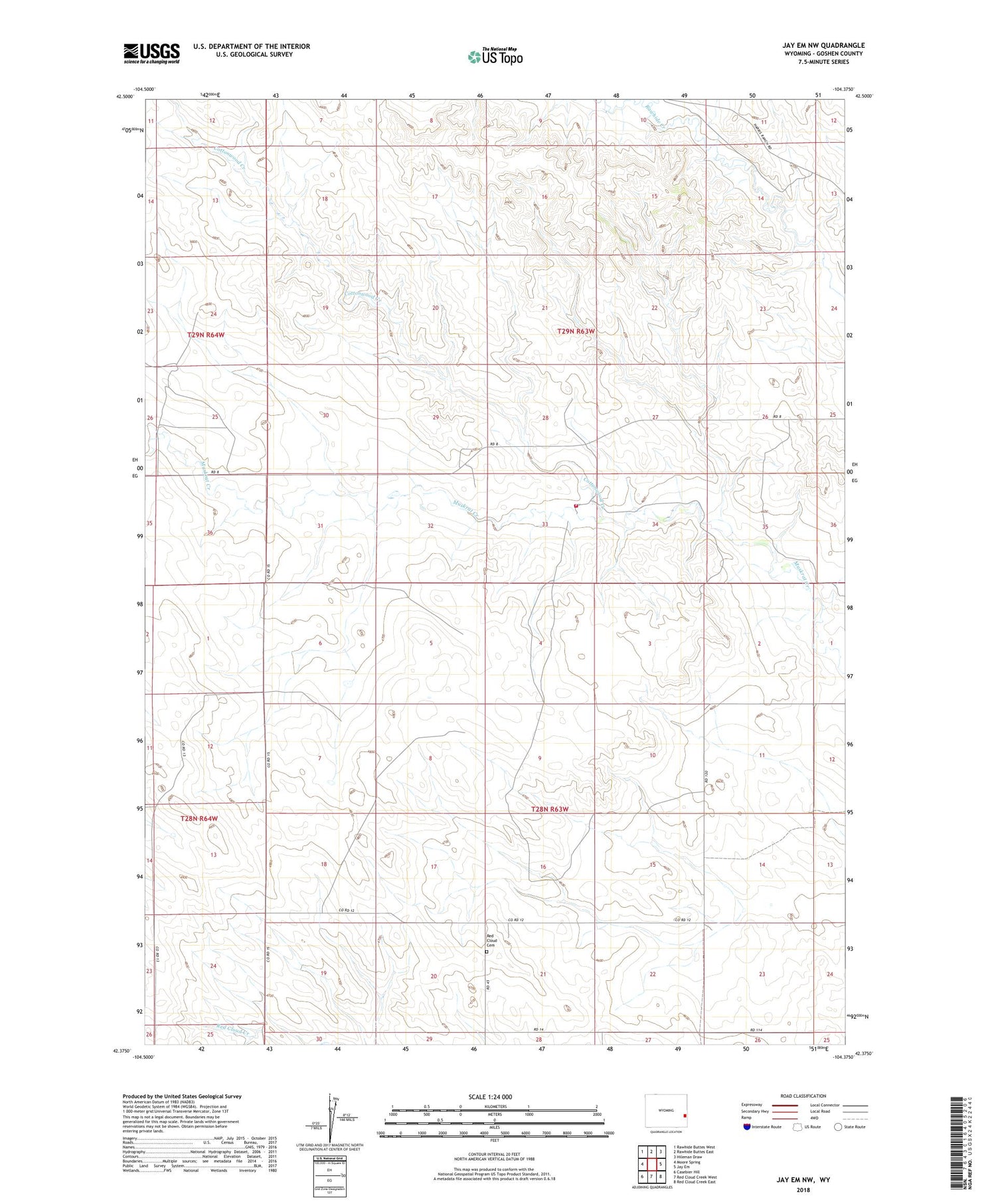
2021 topographic map quadrangle Jay Em NW in the state of Wyoming. Scale: 1:24000. Based on the newly updated USGS 7.5' US Topo map series, this map is in the following counties: Goshen. The map contains contour data, water features, and other items you are used to seeing on USGS maps, but also has updated roads and other features. This is the next generation of topographic maps. Printed on high-quality waterproof paper with UV fade-resistant inks.
Quads adjacent to this one:
West: Moore Spring
Northwest: Rawhide Buttes West
North: Rawhide Buttes East
Northeast: Hileman Draw
East: Jay Em
Southeast: Red Cloud Creek East
South: Red Cloud Creek West
Southwest: Casebier Hill
Contains the following named places: Cottonwood Creek, Goshen County Fire District 12C - La Grange Fire Department, John B Carl Dam, John B Carl Reservoir, Red Cloud Cemetery


