MyTopo
Red Cloud Creek East Wyoming US Topo Map
Couldn't load pickup availability
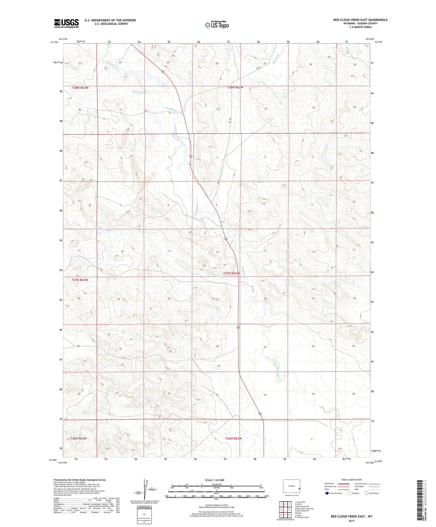
2021 topographic map quadrangle Red Cloud Creek East in the state of Wyoming. Scale: 1:24000. Based on the newly updated USGS 7.5' US Topo map series, this map is in the following counties: Goshen. The map contains contour data, water features, and other items you are used to seeing on USGS maps, but also has updated roads and other features. This is the next generation of topographic maps. Printed on high-quality waterproof paper with UV fade-resistant inks.
Quads adjacent to this one:
West: Red Cloud Creek West
Northwest: Jay Em NW
North: Jay Em
Northeast: Spoon Butte NW
East: Spoon Butte SW
Southeast: Tea Kettle Rock
South: Lingle
Southwest: Barnes
This map covers the same area as the classic USGS quad with code o42104c3.
Contains the following named places: Dry Rawhide Creek, Patrick Red Cloud Number 1 Dam, Patrick Red Cloud Number 1 Reservoir, Red Cloud Creek, Sixmile Creek