MyTopo
Jelm Mountain Wyoming US Topo Map
Couldn't load pickup availability
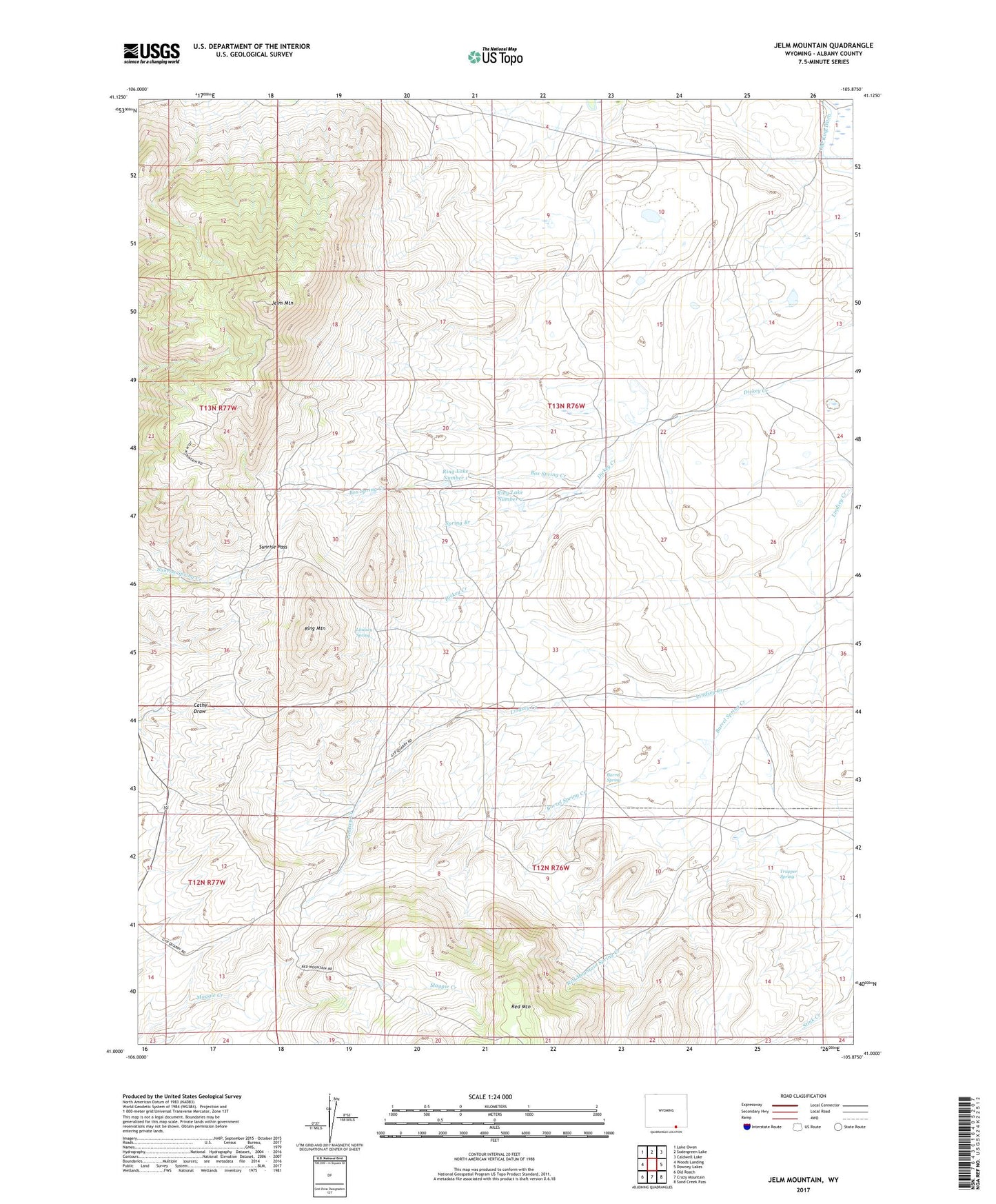
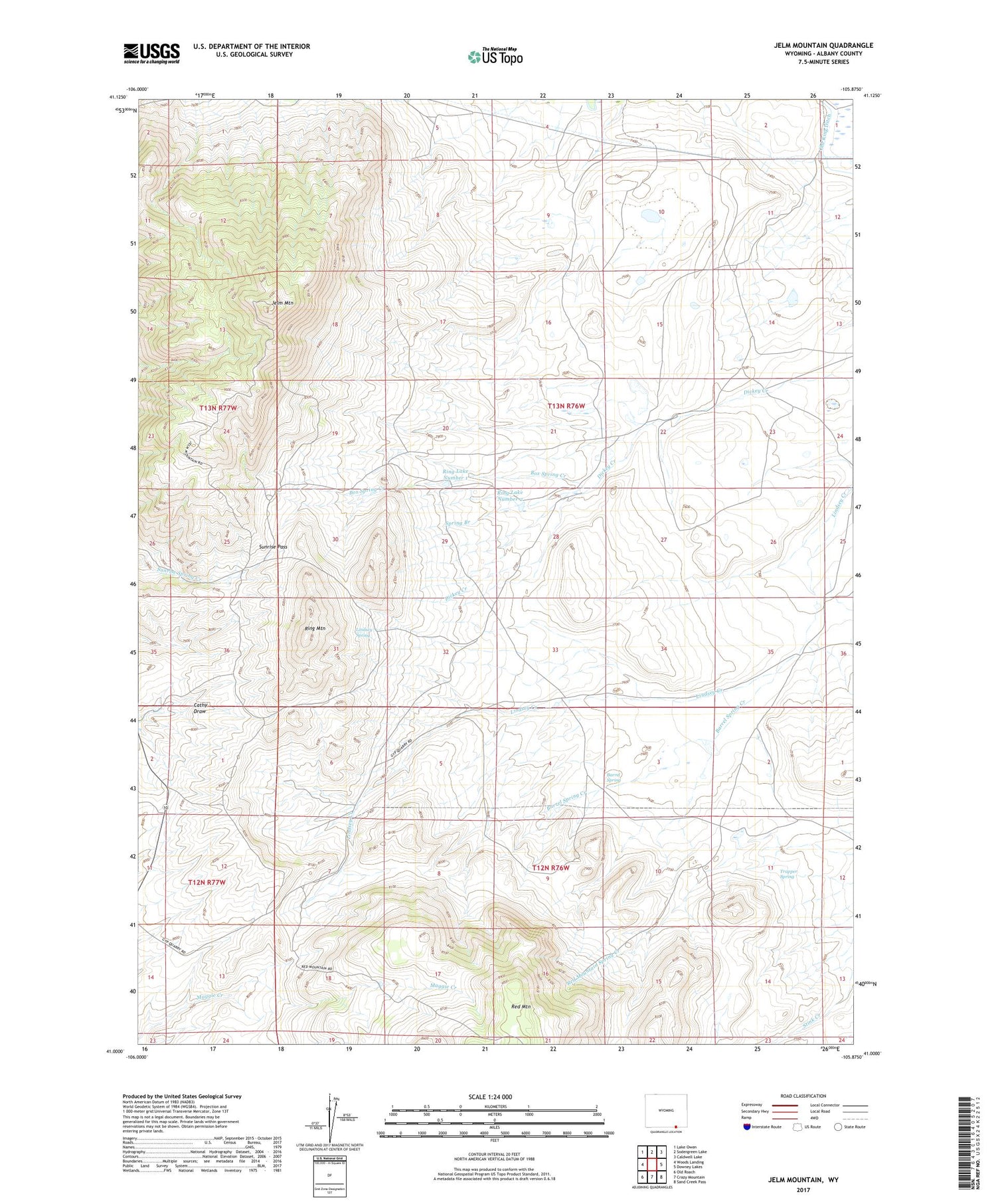
2021 topographic map quadrangle Jelm Mountain in the state of Wyoming. Scale: 1:24000. Based on the newly updated USGS 7.5' US Topo map series, this map is in the following counties: Albany. The map contains contour data, water features, and other items you are used to seeing on USGS maps, but also has updated roads and other features. This is the next generation of topographic maps. Printed on high-quality waterproof paper with UV fade-resistant inks.
Quads adjacent to this one:
West: Woods Landing
Northwest: Lake Owen
North: Sodergreen Lake
Northeast: Caldwell Lake
East: Downey Lakes
Southeast: Sand Creek Pass
South: Crazy Mountain
Southwest: Old Roach
Contains the following named places: Barrel Spring, Barrel Spring Creek, Box Spring Creek, Cathy Draw, Cole Ranch, Dickey Creek, Jelm Mountain, Jelm Mountain Mine, Lindsey Spring, Old King Ditch, Red Mountain Gypsum Mine, Red Mountain Mine, Red Mountain Spring Creek, Ring Lake Number 1, Ring Lake Number 2, Ring Mountain, Spring Branch, Sunrise Pass, Trapper Spring