MyTopo
Jones Draw Wyoming US Topo Map
Couldn't load pickup availability
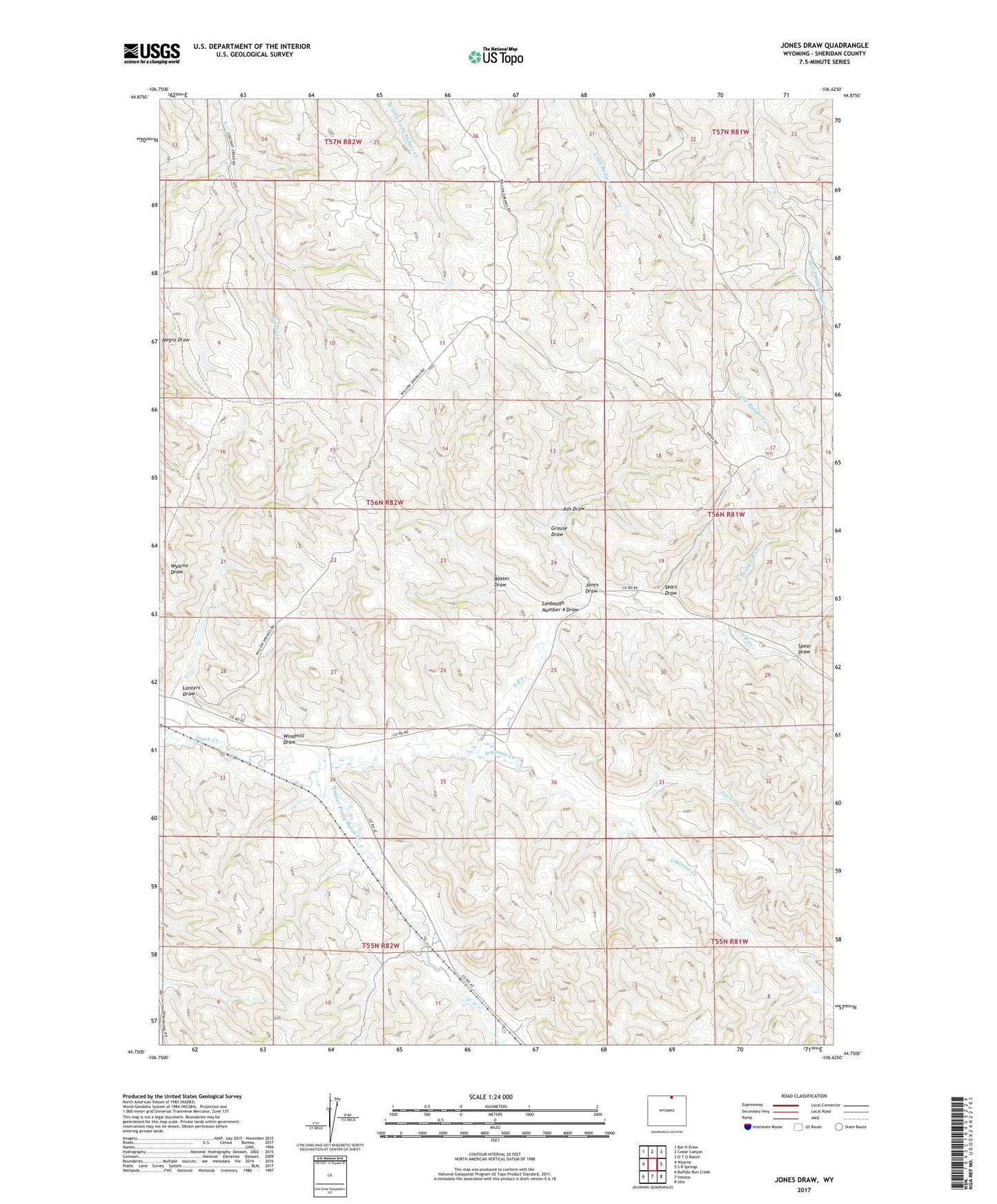
2021 topographic map quadrangle Jones Draw in the state of Wyoming. Scale: 1:24000. Based on the newly updated USGS 7.5' US Topo map series, this map is in the following counties: Sheridan. The map contains contour data, water features, and other items you are used to seeing on USGS maps, but also has updated roads and other features. This is the next generation of topographic maps. Printed on high-quality waterproof paper with UV fade-resistant inks.
Quads adjacent to this one:
West: Wyarno
Northwest: Bar N Draw
North: Cedar Canyon
Northeast: O T O Ranch
East: S R Springs
Southeast: Ulm
South: Verona
Southwest: Buffalo Run Creek
This map covers the same area as the classic USGS quad with code o44106g6.
Contains the following named places: Arkansas Creek, Ash Draw, Baxter Draw, Dodd Dam, Dodd Reservoir, Grouse Draw, Jim Crow Creek, Jones Draw, Lanbaugh Number 4 Draw, Lanters Draw, North Prong S R Creek, S R Creek, Sears Draw, Spear Draw, Wagner Prong Dutch Creek, Windmill Draw, ZIP Code: 82845