MyTopo
Leavitt Bench Wyoming US Topo Map
Couldn't load pickup availability
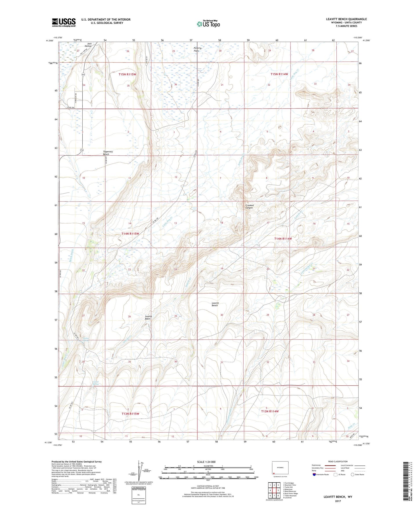
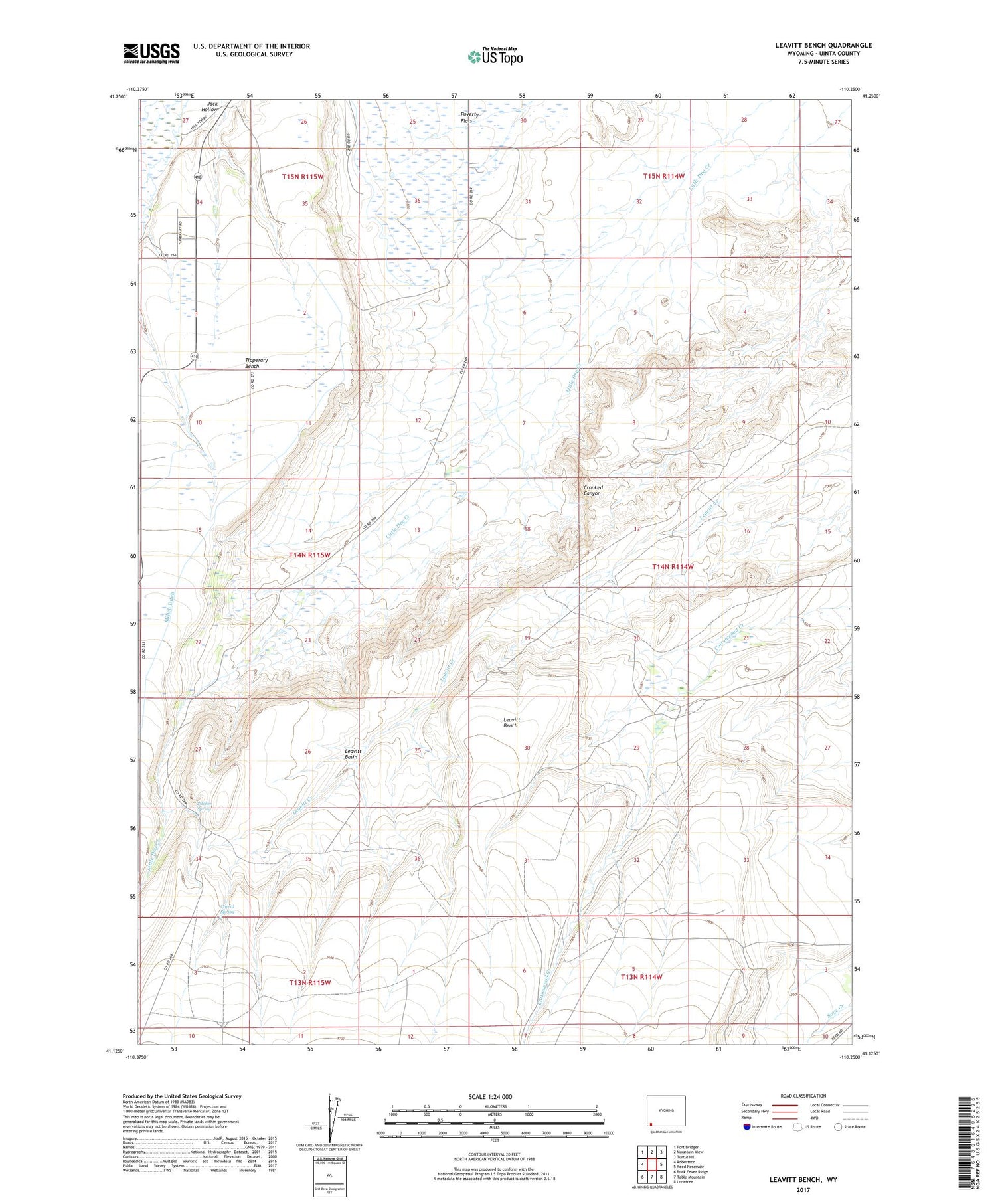
2021 topographic map quadrangle Leavitt Bench in the state of Wyoming. Scale: 1:24000. Based on the newly updated USGS 7.5' US Topo map series, this map is in the following counties: Uinta. The map contains contour data, water features, and other items you are used to seeing on USGS maps, but also has updated roads and other features. This is the next generation of topographic maps. Printed on high-quality waterproof paper with UV fade-resistant inks.
Quads adjacent to this one:
West: Robertson
Northwest: Fort Bridger
North: Mountain View
Northeast: Turtle Hill
East: Reed Reservoir
Southeast: Lonetree
South: Table Mountain
Southwest: Buck Fever Ridge
Contains the following named places: Corral Spring, Jack Hollow, Leavitt Basin, Leavitt Bench, Milich Ditch, Pitcher Spring, Poverty Flats, Slagowski Ranch, Tipperary Bench, ZIP Code: 82939