MyTopo
Lone Haystack Mountain Wyoming US Topo Map
Couldn't load pickup availability
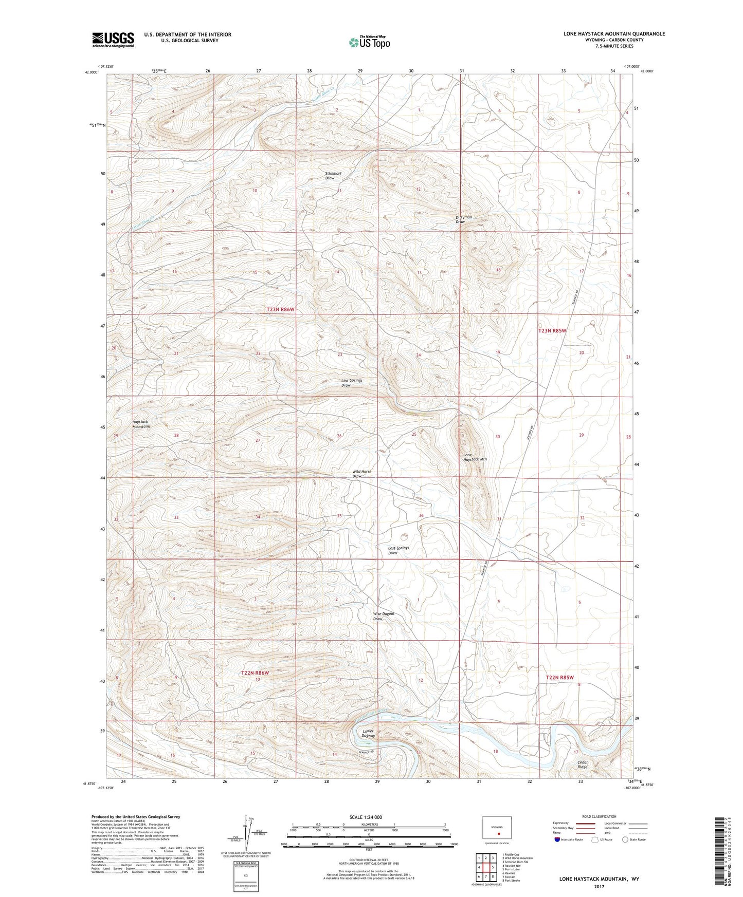
2021 topographic map quadrangle Lone Haystack Mountain in the state of Wyoming. Scale: 1:24000. Based on the newly updated USGS 7.5' US Topo map series, this map is in the following counties: Carbon. The map contains contour data, water features, and other items you are used to seeing on USGS maps, but also has updated roads and other features. This is the next generation of topographic maps. Printed on high-quality waterproof paper with UV fade-resistant inks.
Quads adjacent to this one:
West: Rawlins NW
Northwest: Riddle Cut
North: Wild Horse Mountain
Northeast: Seminoe Dam SW
East: Ferris Lake
Southeast: Fort Steele
South: Sinclair
Southwest: Rawlins
This map covers the same area as the classic USGS quad with code o41107h1.
Contains the following named places: Haystack Mountains, Lone Haystack Mountain, Lost Springs Draw, Lower Dugway, Miller Pit, Miller Prospect, Miller Prospect Mine, Wild Horse Draw, Wise Dugout Draw, ZIP Code: 82334