MyTopo
Lone Mountain Wyoming US Topo Map
Couldn't load pickup availability
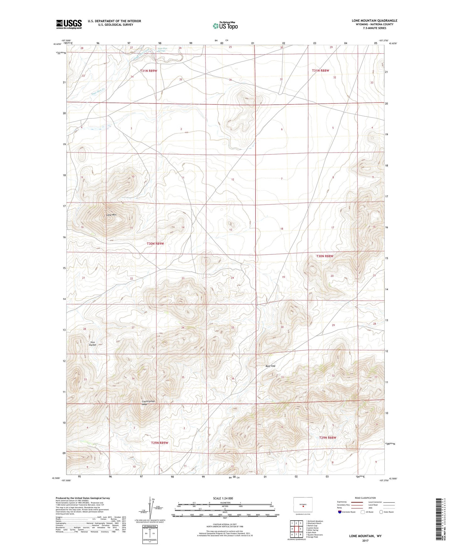
2021 topographic map quadrangle Lone Mountain in the state of Wyoming. Scale: 1:24000. Based on the newly updated USGS 7.5' US Topo map series, this map is in the following counties: Natrona. The map contains contour data, water features, and other items you are used to seeing on USGS maps, but also has updated roads and other features. This is the next generation of topographic maps. Printed on high-quality waterproof paper with UV fade-resistant inks.
Quads adjacent to this one:
West: Lankin Dome
Northwest: McIntosh Meadows
North: Blackjack Ranch
Northeast: Barlow Gap
East: Miller Spring
Southeast: Savage Peak
South: Bucklin Reservoirs
Southwest: Split Rock
This map covers the same area as the classic USGS quad with code o42107e4.
Contains the following named places: Beef Gap, Countryman Peak, Lone Mountain, Sage Hen Springs, Vice Pocket