MyTopo
Lookout Butte Wyoming US Topo Map
Couldn't load pickup availability
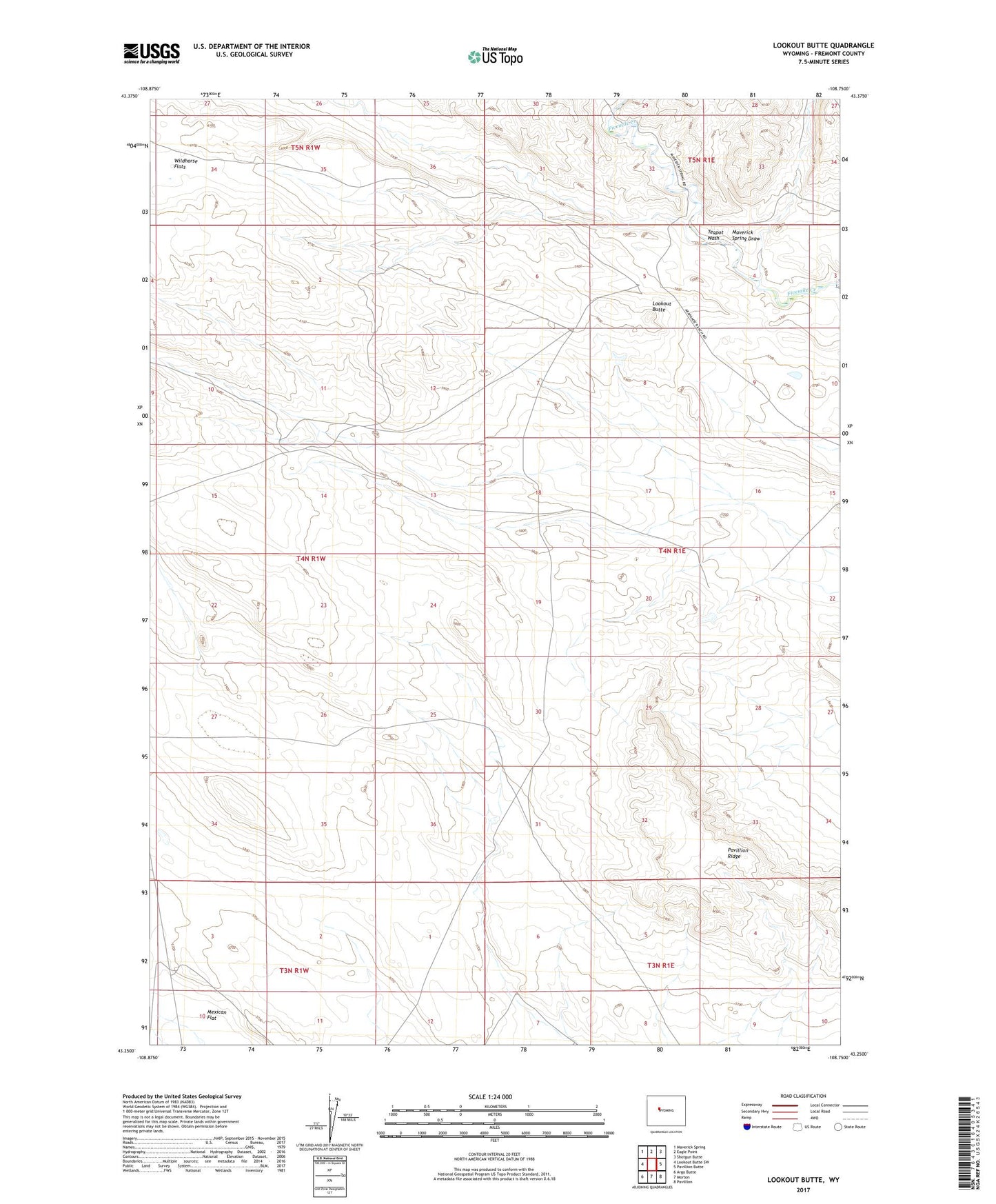
2021 topographic map quadrangle Lookout Butte in the state of Wyoming. Scale: 1:24000. Based on the newly updated USGS 7.5' US Topo map series, this map is in the following counties: Fremont. The map contains contour data, water features, and other items you are used to seeing on USGS maps, but also has updated roads and other features. This is the next generation of topographic maps. Printed on high-quality waterproof paper with UV fade-resistant inks.
Quads adjacent to this one:
West: Lookout Butte SW
Northwest: Maverick Spring
North: Eagle Point
Northeast: Shotgun Butte
East: Pavillion Butte
Southeast: Pavillion
South: Morton
Southwest: Argo Butte
This map covers the same area as the classic USGS quad with code o43108c7.
Contains the following named places: Barquin Coal Mine, Lookout Butte, Maverick Spring Draw, Pavillion Ridge, Teapot Wash, Wildhorse Flats, Wind River Reservation