
MyTopo
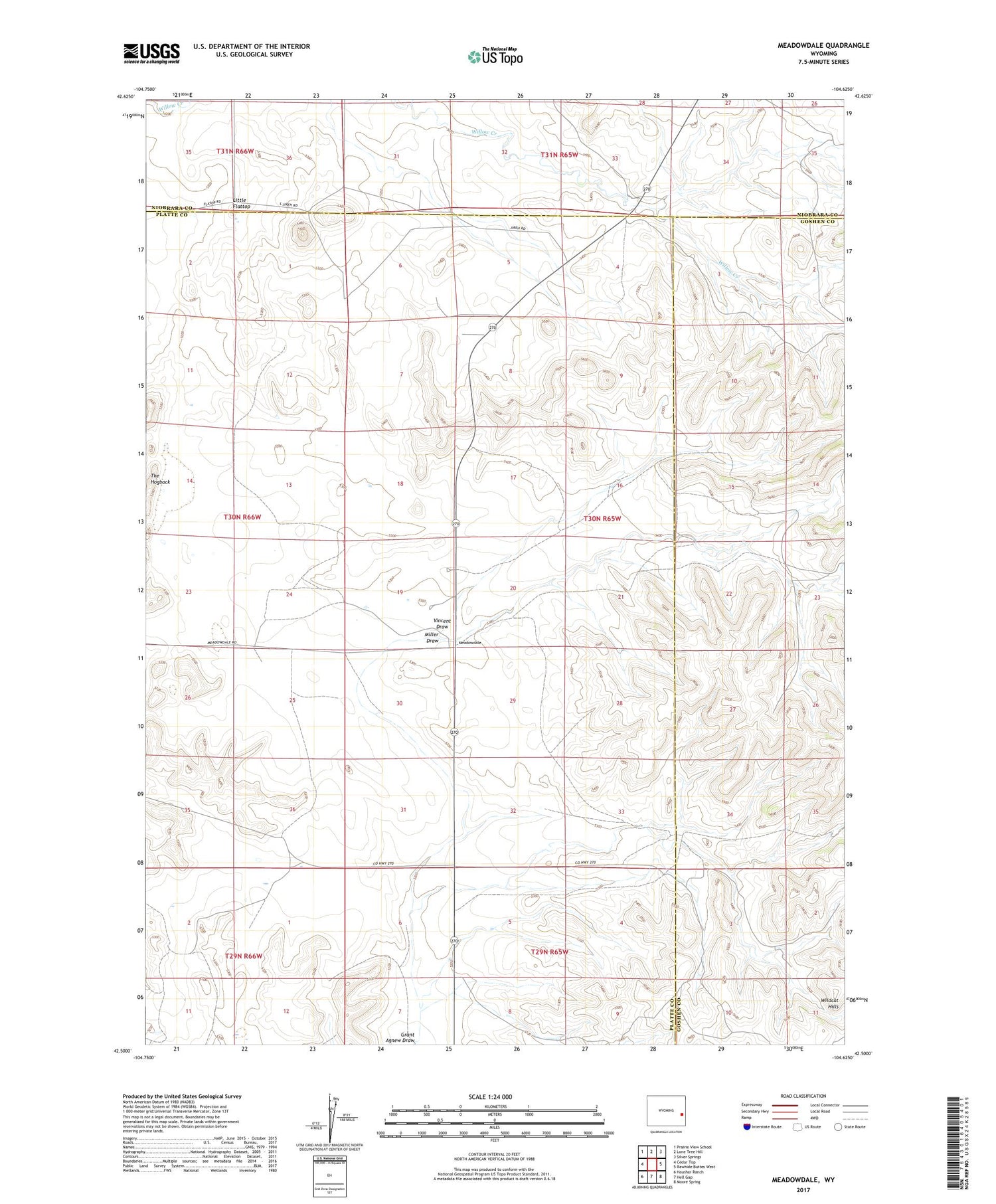
Meadowdale Wyoming US Topo Map
Couldn't load pickup availability
2021 topographic map quadrangle Meadowdale in the state of Wyoming. Scale: 1:24000. Based on the newly updated USGS 7.5' US Topo map series, this map is in the following counties: Platte, Goshen, Niobrara. The map contains contour data, water features, and other items you are used to seeing on USGS maps, but also has updated roads and other features. This is the next generation of topographic maps. Printed on high-quality waterproof paper with UV fade-resistant inks.
Quads adjacent to this one:
West: Cedar Top
Northwest: Prairie View School
North: Lone Tree Hill
Northeast: Silver Springs
East: Rawhide Buttes West
Southeast: Moore Spring
South: Hell Gap
Southwest: Haushar Ranch
Contains the following named places: Broom Creek Dam, Broom Creek Reservoir, Little Flattop, Meadowdale, Miller Draw, The Hogback, Vincent Draw, Wildcat Hills


