MyTopo
Haushar Ranch Wyoming US Topo Map
Couldn't load pickup availability
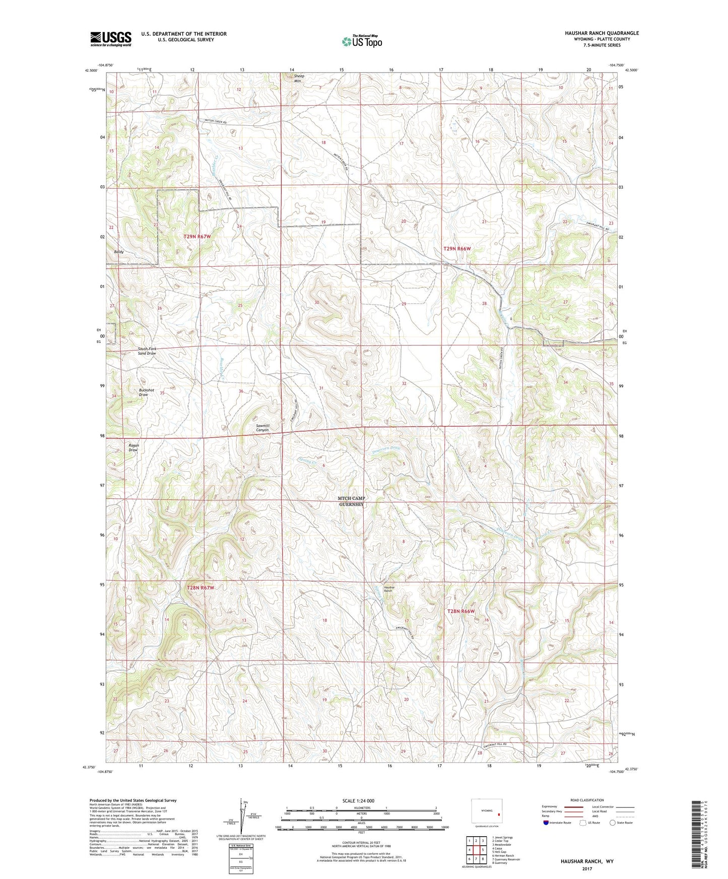
2021 topographic map quadrangle Haushar Ranch in the state of Wyoming. Scale: 1:24000. Based on the newly updated USGS 7.5' US Topo map series, this map is in the following counties: Platte. The map contains contour data, water features, and other items you are used to seeing on USGS maps, but also has updated roads and other features. This is the next generation of topographic maps. Printed on high-quality waterproof paper with UV fade-resistant inks.
Quads adjacent to this one:
West: Cassa
Northwest: Jewel Springs
North: Cedar Top
Northeast: Meadowdale
East: Hell Gap
Southeast: Guernsey
South: Guernsey Reservoir
Southwest: Herman Ranch
This map covers the same area as the classic USGS quad with code o42104d7.
Contains the following named places: Dearcorn Draw, Ferguson Ranch, Guernsey Division, Haushar Ranch, McNutt Ranch, Osborn Ranch, Patten Creek, Smith Ranch, Sommers Ranch, ZIP Code: 82215