MyTopo
Mount Jackson Wyoming US Topo Map
Couldn't load pickup availability
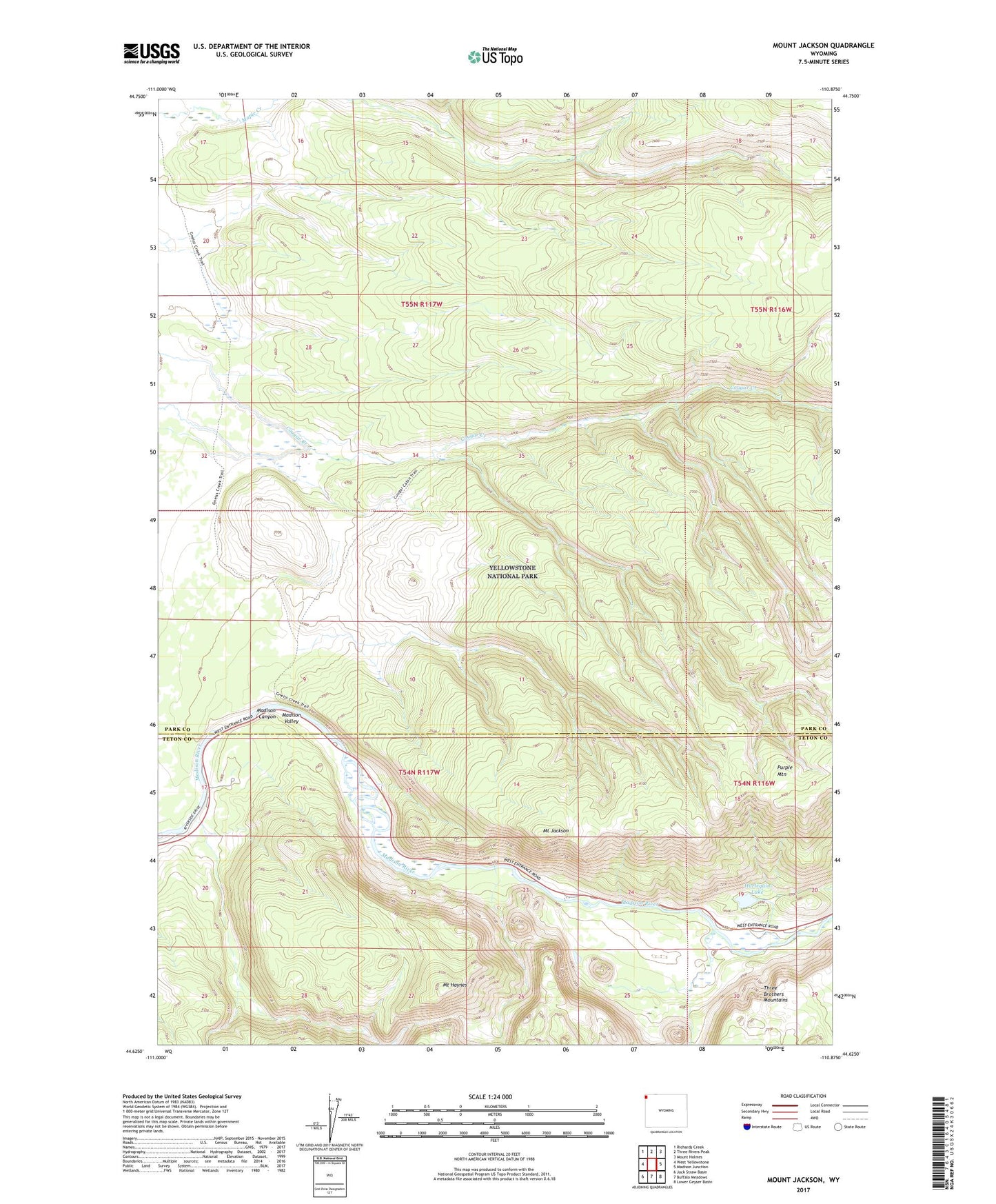
2021 topographic map quadrangle Mount Jackson in the state of Wyoming. Scale: 1:24000. Based on the newly updated USGS 7.5' US Topo map series, this map is in the following counties: Park, Teton. The map contains contour data, water features, and other items you are used to seeing on USGS maps, but also has updated roads and other features. This is the next generation of topographic maps. Printed on high-quality waterproof paper with UV fade-resistant inks.
Quads adjacent to this one:
West: West Yellowstone
Northwest: Richards Creek
North: Three Rivers Peak
Northeast: Mount Holmes
East: Madison Junction
Southeast: Lower Geyser Basin
South: Buffalo Meadows
Southwest: Jack Straw Basin
This map covers the same area as the classic USGS quad with code o44110f8.
Contains the following named places: Cougar Creek Patrol Cabin, Gneiss Creek Trail, Harlequin Lake, Madison Canyon, Madison Range Overlook, Mount Haynes, Mount Jackson, Three Brothers Mountains