
MyTopo
Natwick SW Wyoming US Topo Map
Couldn't load pickup availability
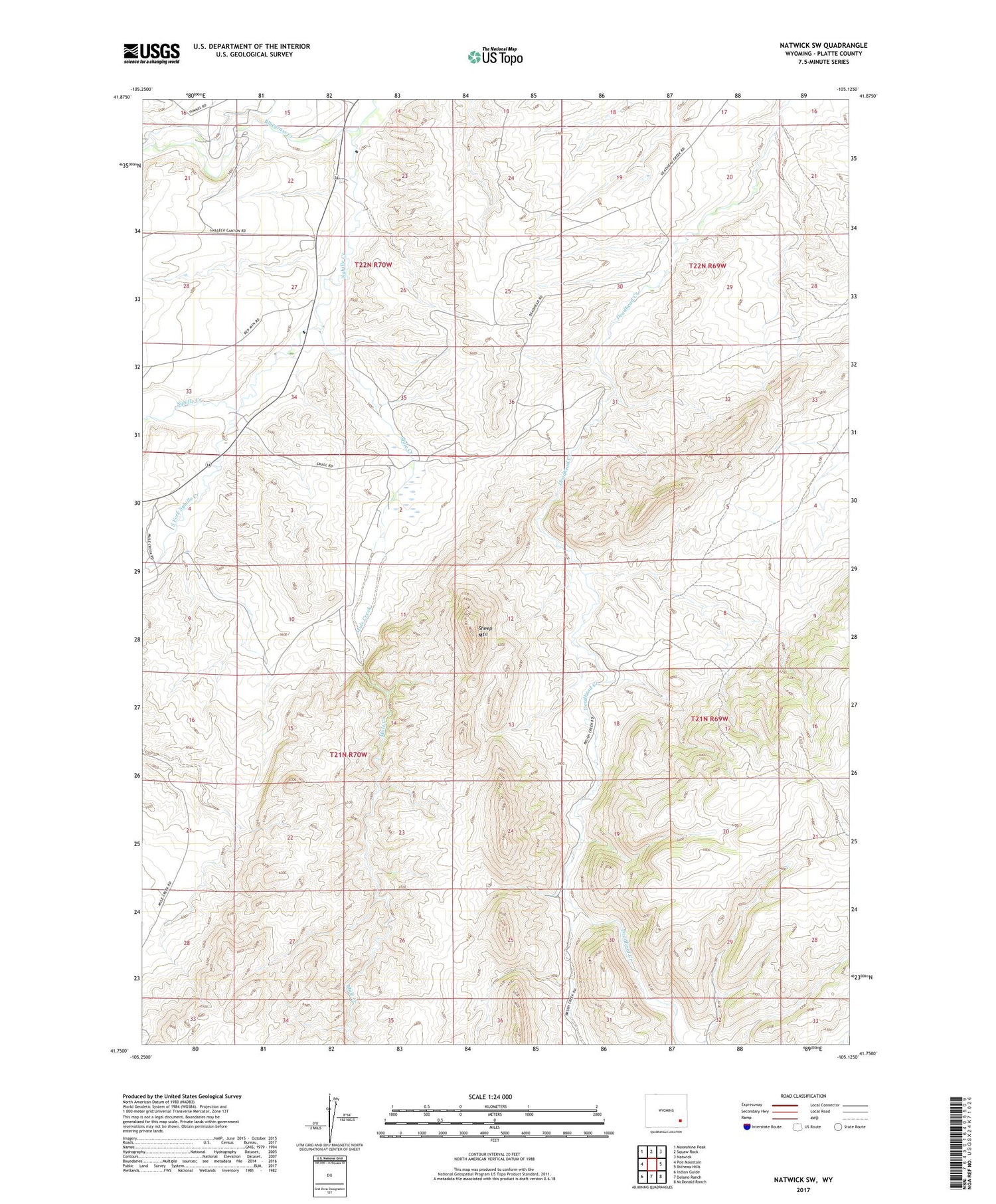
2021 topographic map quadrangle Natwick SW in the state of Wyoming. Scale: 1:24000. Based on the newly updated USGS 7.5' US Topo map series, this map is in the following counties: Platte. The map contains contour data, water features, and other items you are used to seeing on USGS maps, but also has updated roads and other features. This is the next generation of topographic maps. Printed on high-quality waterproof paper with UV fade-resistant inks.
Quads adjacent to this one:
West: Poe Mountain
Northwest: Moonshine Peak
North: Squaw Rock
Northeast: Natwick
East: Richeau Hills
Southeast: McDonald Ranch
South: Delano Ranch
Southwest: Indian Guide
Contains the following named places: Bluegrass Creek, Gilbert Number 1 Dam, Gilbert Reservoir, Mule Creek, Rosentreter School, Sheep Mountain, South Fork Sybille Creek, Sybille School


