MyTopo
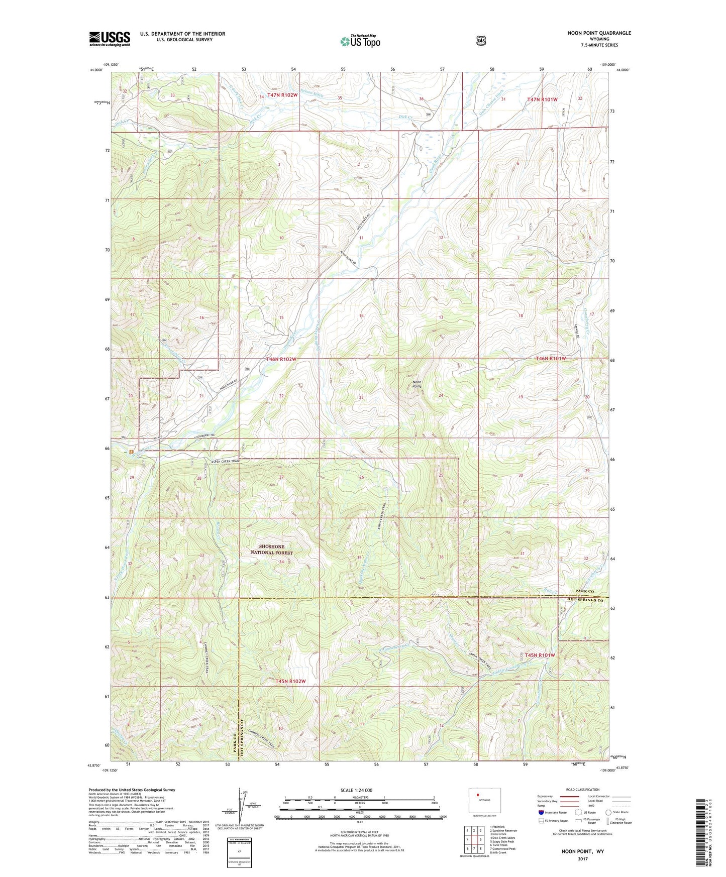
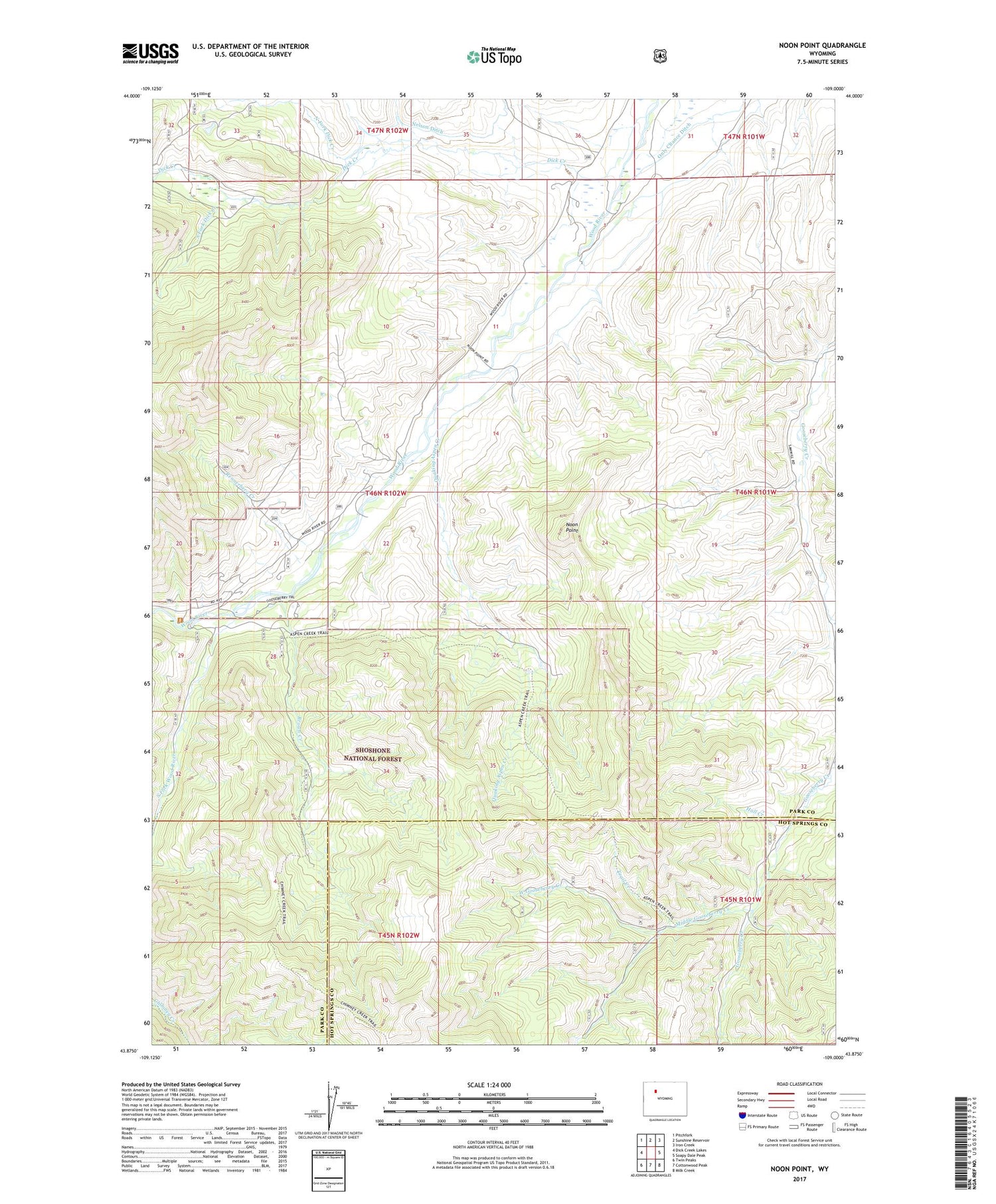
Noon Point Wyoming US Topo Map
Couldn't load pickup availability
2021 topographic map quadrangle Noon Point in the state of Wyoming. Scale: 1:24000. Based on the newly updated USGS 7.5' US Topo map series, this map is in the following counties: Park, Hot Springs. The map contains contour data, water features, and other items you are used to seeing on USGS maps, but also has updated roads and other features. This is the next generation of topographic maps. Printed on high-quality waterproof paper with UV fade-resistant inks.
Quads adjacent to this one:
West: Dick Creek Lakes
Northwest: Pitchfork
North: Sunshine Reservoir
Northeast: Iron Creek
East: Soapy Dale Peak
Southeast: Milk Creek
South: Cottonwood Peak
Southwest: Twin Peaks
Contains the following named places: Brown Creek, Dick Creek, Gooseberry Trail, Hall Creek, Larson Ranch, Middle Gooseberry Creek, Nelson Ditch, Noon Point, North Fork Dick Creek, Quaking Aspen Creek, Rennerberg Creek, South Fork Dick Creek, South Fork Wood River, Trail Creek, West Gooseberry Creek, Wood River Guard Station, Yetter Brothers Sawmill